Beaverton night lights from space
Night Light of Beaverton (Oregon) from space (United States) Src. Average luminocity for 10x10km area is 88.4206% and for 50x50km: 43.0725%.
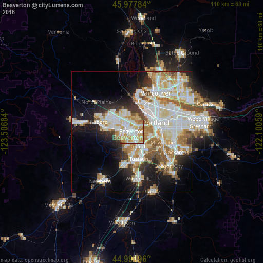
Analysis of Beaverton night lights 2016
Square area 10x10 km:
 29.84%
90-99
26.83%80-89
15.08%70-79
19.68%60-69
7.14%50-59
0.63%40-49
0.32%30-39
0.48%20-29
0%10-19
0%0-9
0%Square area 50x50 km:
11.46%90-99
11.9%80-89
5.33%70-79
5.59%60-69
4.96%50-59
4.37%40-49
2.82%30-39
3.19%20-29
5.34%10-19
11.16%0-9
33.89%Clear (daylight) street map image can be seen on geolist.org.
Map coordinates:
45° 58' 40.2" North, 123° 30' 24.6" West
45° 29' 13.4" North, 122° 48' 13.4" West
44° 59' 31.1" North, 122° 6' 2.1" West
Some cities around Beaverton sort by population:
• Aloha
5 km =3.1 mi,  279°
279°
• Cedar Mill
4.2 km =2.6 mi,  352°
352°
• Cedar Hills
2 km =1.2 mi,  11°
11°
• West Haven-Sylvan
4.3 km =2.7 mi,  40°
40°
• Garden Home-Whitford
4.3 km =2.7 mi,  126°
126°
• West Slope
3.3 km =2.1 mi,  66°
66°
• West Haven
4.3 km =2.7 mi, 38°
• Raleigh Hills
3.3 km =2.1 mi,  102°
102°
5713376 (p: 96,577)
Sources (retrieved 2019-11-25):
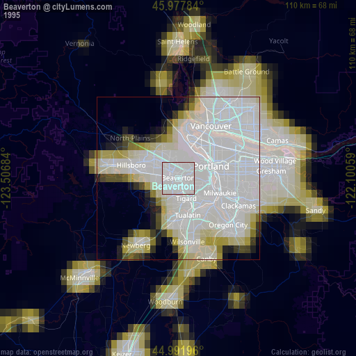
» NASA, Earths city lights 1995
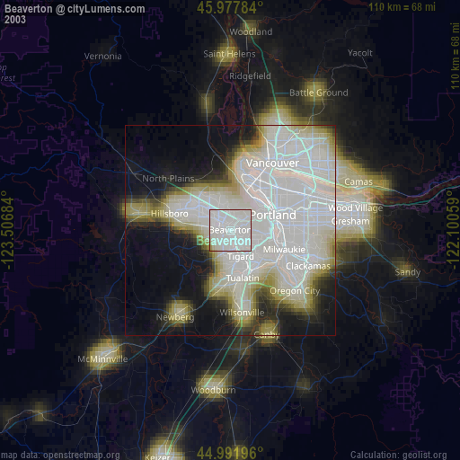
» NASA city lights 2003
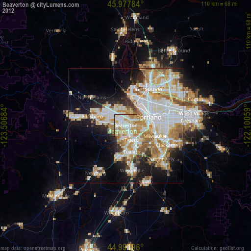
» Earth at Night: Flat Maps 2012, 2016