Barnhart night lights from space
Night Light of Barnhart (Missouri) from space (United States) Src. Average luminocity for 10x10km area is 36.8452% and for 50x50km: 28.4341%.
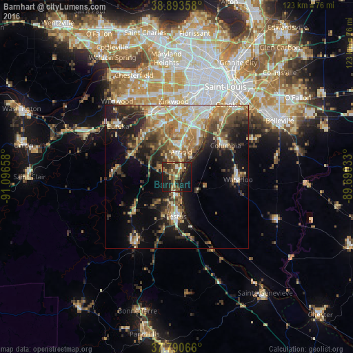
Analysis of Barnhart night lights 2016
Square area 10x10 km:
 1.02%
1.02%90-99
2.89%80-89
6.29%70-79
5.1%60-69
5.27%50-59
10.71%40-49
7.31%30-39
5.95%20-29
18.88%10-19
31.12%0-9
5.44%Square area 50x50 km:
3.14%90-99
4.43%80-89
4.31%70-79
4.17%60-69
4.93%50-59
5.03%40-49
4.25%30-39
5.01%20-29
7.01%10-19
13.04%0-9
44.67%Clear (daylight) street map image can be seen on geolist.org.
Map coordinates:
38° 53' 36.9" North, 91° 5' 47.7" West
38° 20' 39.2" North, 90° 23' 36.4" West
37° 47' 26.4" North, 89° 41' 25.2" West
Some cities around Barnhart sort by population:
• Oakville
16 km =9.9 mi,  28°
28°
• Mehlville
19.3 km =12 mi,  18°
18°
• Arnold
9.9 km =6.2 mi,  7°
7°
• Concord
20.3 km =12.6 mi, 8°
• Festus
13.7 km =8.5 mi,  180°
180°
• Columbia
20.1 km =12.5 mi,  56°
56°
• Murphy
18.2 km =11.3 mi,  333°
333°
• Pevely
6.8 km =4.2 mi, 181°
4375832 (p: 5,682)
Sources (retrieved 2019-11-25):
» Earth at Night: Flat Maps 2012, 2016