Mehlville night lights from space
Night Light of Mehlville (Missouri) from space (United States) Src. Average luminocity for 10x10km area is 84.9253% and for 50x50km: 55.9477%.
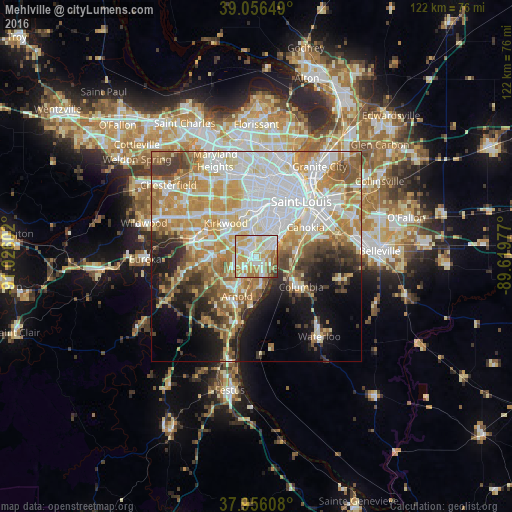
Analysis of Mehlville night lights 2016
Square area 10x10 km:
 20.45%
90-99
27.44%80-89
18.51%70-79
17.69%60-69
7.95%50-59
5.68%40-49
1.62%30-39
0.65%20-29
0%10-19
0%0-9
0%Square area 50x50 km:
15.45%90-99
12.16%80-89
6.94%70-79
10.23%60-69
7.87%50-59
6.18%40-49
4.11%30-39
5.15%20-29
5.28%10-19
9.25%0-9
17.39%Clear (daylight) street map image can be seen on geolist.org.
Map coordinates:
39° 3' 23.4" North, 91° 1' 33.7" West
38° 30' 30.2" North, 90° 19' 22.4" West
37° 57' 21.9" North, 89° 37' 11.2" West
Some cities around Mehlville sort by population:
• Oakville
4.6 km =2.9 mi,  159°
159°
• Affton
4.8 km =3 mi,  349°
349°
• Lemay
4.7 km =2.9 mi,  53°
53°
• Concord
3.5 km =2.2 mi,  300°
300°
• Crestwood
7.4 km =4.6 mi,  316°
316°
• Sunset Hills
8.1 km =5 mi,  294°
294°
• Sappington
5.9 km =3.7 mi, 302°
• Shrewsbury
9.2 km =5.7 mi, 352°
4397962 (p: 28,380)
Sources (retrieved 2019-11-25):
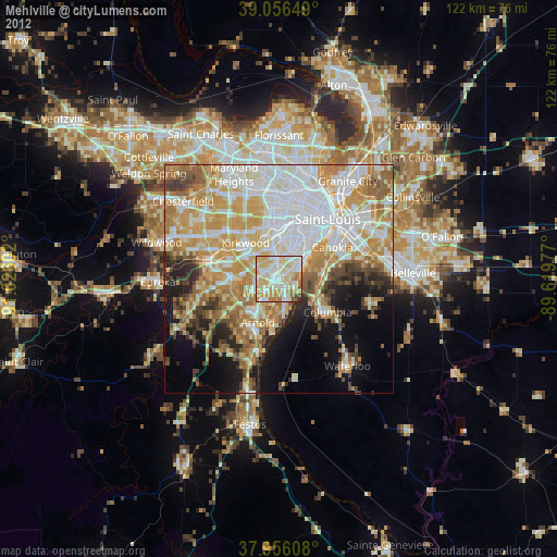
» Earth at Night: Flat Maps 2012, 2016