Baltimore night lights from space
Night Light of Baltimore (Maryland) from space (United States) Src. Average luminocity for 10x10km area is 98.7874% and for 50x50km: 64.0947%.
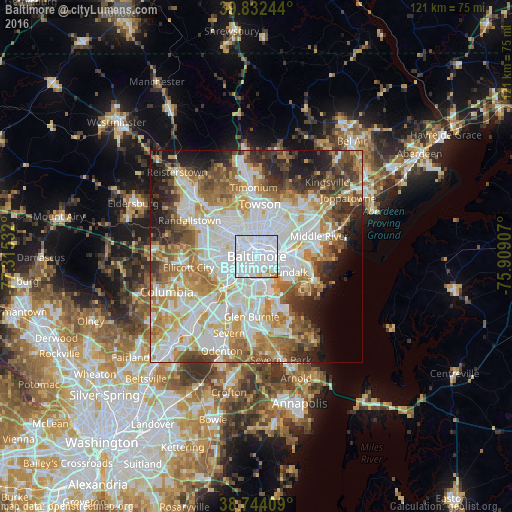
Analysis of Baltimore night lights 2016
Square area 10x10 km:
 83.67%
90-99
11.73%80-89
1.53%70-79
2.89%60-69
0.17%50-59
0%40-49
0%30-39
0%20-29
0%10-19
0%0-9
0%Square area 50x50 km:
19.97%90-99
15.41%80-89
7.35%70-79
8.78%60-69
8.56%50-59
7.12%40-49
5.81%30-39
5.24%20-29
6.19%10-19
6.78%0-9
8.79%Clear (daylight) street map image can be seen on geolist.org.
Map coordinates:
39° 49' 56.8" North, 77° 18' 55.2" West
39° 17' 25.4" North, 76° 36' 43.9" West
38° 44' 38.7" North, 75° 54' 32.7" West
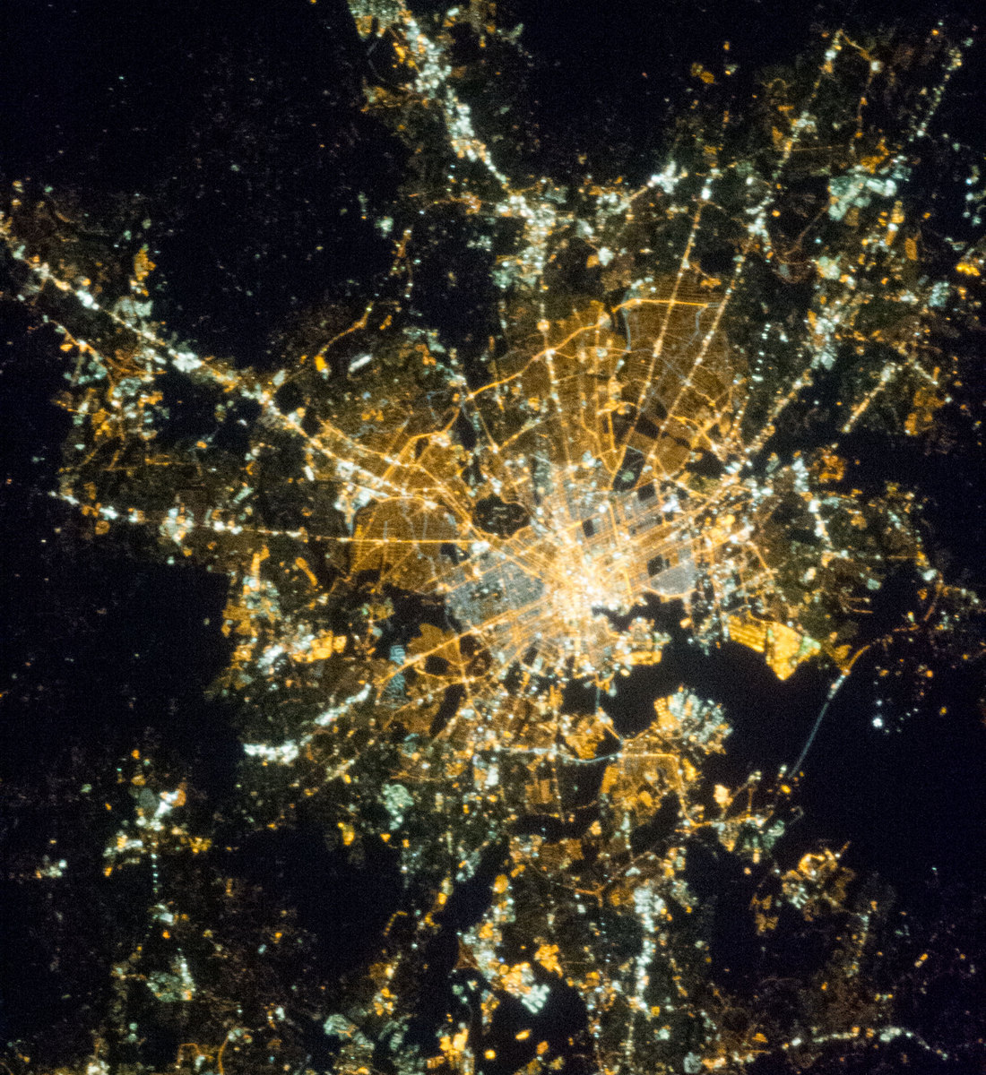
Fantastic image of Baltimore from space taken by astronauts [src2], but I don't have information about it's orientation, scale or angle. If necessary, it was rotated manually, so North points approximately to upper direction. Click to zoom in:
Some cities around Baltimore sort by population:
• Dundalk
9 km =5.6 mi,  119°
119°
• Arbutus
8.5 km =5.3 mi,  242°
242°
• Rosedale
8.9 km =5.5 mi,  68°
68°
• Brooklyn Park
6.9 km =4.3 mi,  182°
182°
• Linthicum
10.1 km =6.3 mi,  200°
200°
• Lansdowne
6.5 km =4 mi,  219°
219°
• Charles Village
3.6 km =2.2 mi,  358°
358°
• Pumphrey
8.4 km =5.2 mi,  194°
194°
4347778 (p: 621,849)
Sources (retrieved 2019-11-25):
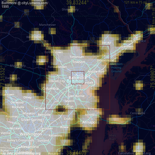
» NASA, Earths city lights 1995
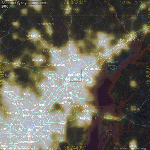
» NASA city lights 2003
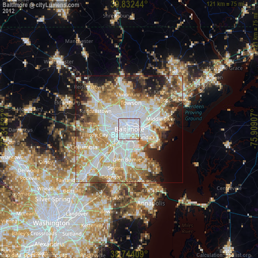
» Earth at Night: Flat Maps 2012, 2016
Src.2: NASA.gov ID: ISS035-E-8029, 2013-03-23