Athens night lights from space
Night Light of Athens (Georgia) from space (United States) Src. Average luminocity for 10x10km area is 82.6678% and for 50x50km: 16.384%.
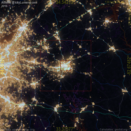
Analysis of Athens night lights 2016
Square area 10x10 km:
 23.25%
90-99
21.5%80-89
12.94%70-79
15.21%60-69
17.48%50-59
6.82%40-49
2.1%30-39
0.7%20-29
0%10-19
0%0-9
0%Square area 50x50 km:
1.37%90-99
1.4%80-89
1.65%70-79
2.97%60-69
2.82%50-59
3.3%40-49
2.8%30-39
4.21%20-29
4.75%10-19
10.36%0-9
64.37%Clear (daylight) street map image can be seen on geolist.org.
Map coordinates:
34° 32' 31.7" North, 84° 4' 51.9" West
33° 57' 39.4" North, 83° 22' 40.6" West
33° 22' 32.8" North, 82° 40' 29.4" West
Some cities around Athens sort by population:
• Winder
31.8 km =19.8 mi,  276°
276°
• Monroe
36 km =22.4 mi,  239°
239°
• Jefferson
24.9 km =15.5 mi,  314°
314°
• Braselton
39.1 km =24.3 mi,  294°
294°
• Country Club Estates
4.3 km =2.7 mi,  317°
317°
• Auburn
41.9 km =26 mi, 278°
• Commerce
28 km =17.4 mi,  344°
344°
• Dacula
48 km =29.8 mi,  273°
273°
4180386 (p: 116,714)
Sources (retrieved 2019-11-25):
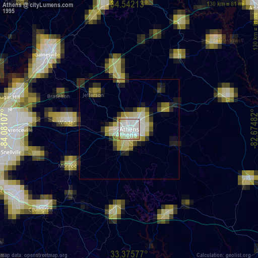
» NASA, Earths city lights 1995
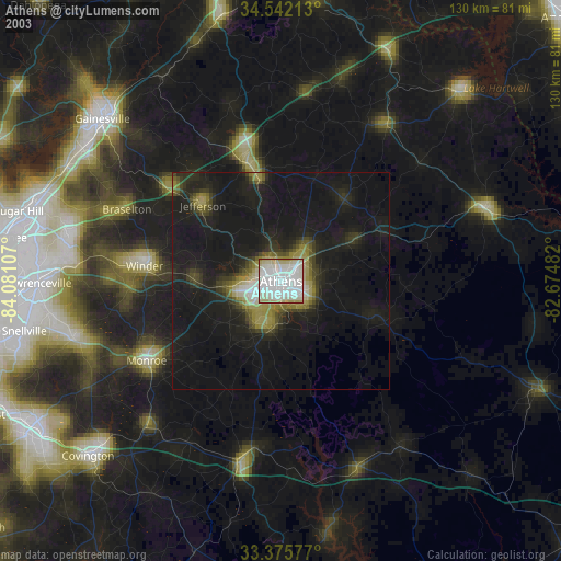
» NASA city lights 2003
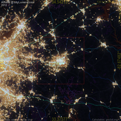
» Earth at Night: Flat Maps 2012, 2016