Alamogordo night lights from space
Night Light of Alamogordo (New Mexico) from space (United States) Src. Average luminocity for 10x10km area is 43.9029% and for 50x50km: 3.6953%.
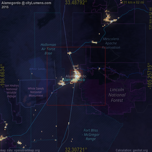
Analysis of Alamogordo night lights 2016
Square area 10x10 km:
 4.4%
4.4%90-99
4.95%80-89
5.49%70-79
14.47%60-69
10.99%50-59
1.65%40-49
4.95%30-39
4.58%20-29
8.42%10-19
35.35%0-9
4.76%Square area 50x50 km:
0.28%90-99
0.27%80-89
0.37%70-79
0.91%60-69
0.8%50-59
0.25%40-49
0.63%30-39
0.46%20-29
0.45%10-19
3.24%0-9
92.34%Clear (daylight) street map image can be seen on geolist.org.
Map coordinates:
33° 29' 16.5" North, 106° 39' 48.2" West
32° 53' 58.3" North, 105° 57' 37" West
32° 18' 26" North, 105° 15' 25.7" West
Some cities around Alamogordo sort by population:
• Las Cruces
100.7 km =62.6 mi,  229°
229°
• Chaparral
105.2 km =65.4 mi,  202°
202°
• Anthony
116.5 km =72.4 mi,  211°
211°
• Ruidoso
55 km =34.2 mi,  29°
29°
• Homestead Meadows South
122.5 km =76.1 mi,  188°
188°
• Truth or Consequences
123.2 km =76.6 mi,  281°
281°
• Anthony
117 km =72.7 mi, 211°
• Homestead Meadows North
118.4 km =73.6 mi, 189°
5454627 (p: 30,753)
Sources (retrieved 2019-11-25):
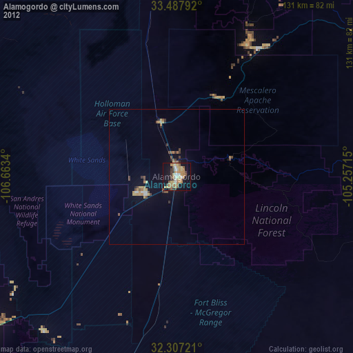
» Earth at Night: Flat Maps 2012, 2016