Nyachera night lights from space
Night Light of Nyachera (Western Region) from space (Uganda) Src. Average luminocity for 10x10km area is 0% and for 50x50km: 0.0375%.
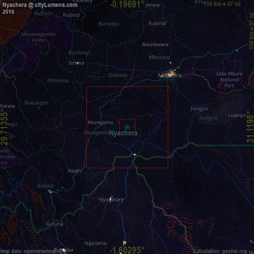
Analysis of Nyachera night lights 2016
Square area 10x10 km:
 0%
0%90-99
0%80-89
0%70-79
0%60-69
0%50-59
0%40-49
0%30-39
0%20-29
0%10-19
0%0-9
100%Square area 50x50 km:
0%90-99
0.03%80-89
0%70-79
0%60-69
0%50-59
0%40-49
0%30-39
0%20-29
0%10-19
0.03%0-9
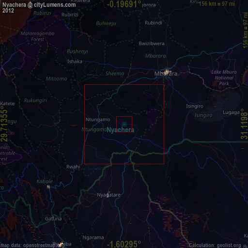
99.93%Clear (daylight) street map image can be seen on geolist.org.
Map coordinates:
0° 11' 48.9" South, 29° 42' 48.8" East
0° 54' 0" South, 30° 25' 0" East
1° 36' 10.6" South, 31° 7' 11.3" East
Some cities around Nyachera sort by population:
• Mbarara
41.7 km =25.9 mi,  38°
38°
• Bwizibwera
41.6 km =25.8 mi,  34°
34°
• Byumba, RW
84.6 km =52.6 mi,  207°
207°
• Kabale
61.3 km =38.1 mi,  230°
230°
• Ntungamo
85.3 km =53 mi,  271°
271°
• Ntungamo
17.1 km =10.6 mi,  277°
277°
• Kanungu
70 km =43.5 mi,  264°
264°
• Rukungiri
53.2 km =33.1 mi, 277°
227528 (p: 30,509)
Sources (retrieved 2019-11-25):
» Earth at Night: Flat Maps 2012, 2016