Malaba night lights from space
Night Light of Malaba (Busia) from space (Kenya) Src. Average luminocity for 10x10km area is 2.0519% and for 50x50km: 0.4391%.
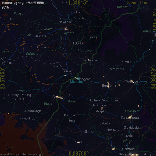
Analysis of Malaba night lights 2016
Square area 10x10 km:
100  0%
0%
90-99 0%
80-89 0.87%
70-79 0%
60-69 0%
50-59 0.87%
40-49 0.87%
30-39 0.87%
20-29 0%
10-19 0%
0-9 96.54%
0%90-99
0%80-89
0.87%70-79
0%60-69
0%50-59
0.87%40-49
0.87%30-39
0.87%20-29
0%10-19
0%0-9
96.54%Square area 50x50 km:
100 0%
90-99 0%
80-89 0.07%
70-79 0%
60-69 0.2%
50-59 0.11%
40-49 0.14%
30-39 0.1%
20-29 0.15%
10-19 0.06%
0-9 99.17%
0%90-99
0%80-89
0.07%70-79
0%60-69
0.2%50-59
0.11%40-49
0.14%30-39
0.1%20-29
0.15%10-19
0.06%0-9
99.17%Clear (daylight) street map image can be seen on geolist.org.
Map coordinates:
1° 20' 17.3" North, 33° 34' 42.7" East
0° 38' 6.5" North, 34° 16' 53.9" East
0° 4' 4.7" South, 34° 59' 5.2" East
Some cities around Malaba sort by population:
• Bungoma
32 km =19.9 mi,  104°
104°
• Busia
27.1 km =16.8 mi,  224°
224°
• Mumias
40.5 km =25.2 mi,  145°
145°
• Busia, UG
28.2 km =17.5 mi,  228°
228°
• Lugulu
27 km =16.8 mi,  174°
174°
• Tororo, UG
12.9 km =8 mi,  299°
299°
• Luanda
42.7 km =26.5 mi,  213°
213°
• Bondo
44.5 km =27.7 mi,  180°
180°
188025 (p: 8,383)
Sources (retrieved 2019-11-25):
» Earth at Night: Flat Maps 2012, 2016