Hornostayivka night lights from space
Night Light of Hornostayivka (Kherson) from space (Ukraine) Src. Average luminocity for 10x10km area is 0% and for 50x50km: 0.399%.
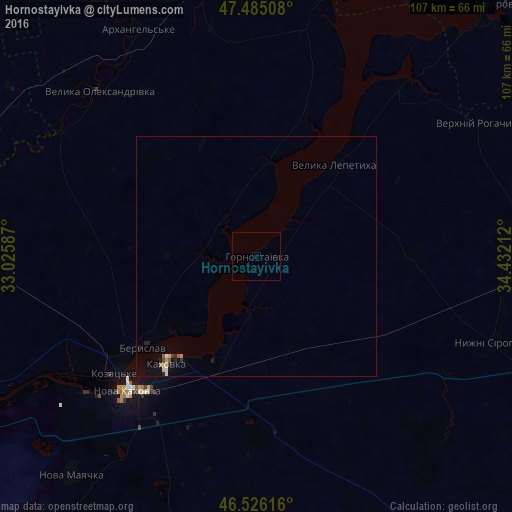
Analysis of Hornostayivka night lights 2016
Square area 10x10 km:
 0%
0%90-99
0%80-89
0%70-79
0%60-69
0%50-59
0%40-49
0%30-39
0%20-29
0%10-19
0%0-9
100%Square area 50x50 km:
0.02%90-99
0.05%80-89
0.08%70-79
0.04%60-69
0.05%50-59
0.06%40-49
0.03%30-39
0.05%20-29
0.09%10-19
0.13%0-9
99.4%Clear (daylight) street map image can be seen on geolist.org.
Map coordinates:
47° 29' 6.3" North, 33° 1' 33.1" East
47° 0' 28" North, 33° 43' 44.4" East
46° 31' 34.2" North, 34° 25' 55.6" East
Some cities around Hornostayivka sort by population:
• Nova Kakhovka
40.4 km =25.1 mi,  225°
225°
• Kakhovka
28.3 km =17.6 mi,  220°
220°
• Beryslav
29.4 km =18.3 mi, 231°
• Velyka Lepetykha
24.8 km =15.4 mi,  41°
41°
• Velyka Oleksandrivka
47.3 km =29.4 mi,  317°
317°
• Verkhniy Rohachyk
53.4 km =33.2 mi,  59°
59°
• Nyzhni Sirohozy
52.5 km =32.6 mi,  109°
109°
• Lyubymivka
25.1 km =15.6 mi,  209°
209°
708403 (p: 6,762)
Sources (retrieved 2019-11-25):
» Earth at Night: Flat Maps 2012, 2016