Trebukhiv night lights from space
Night Light of Trebukhiv (Kyiv) from space (Ukraine) Src. Average luminocity for 10x10km area is 19.5546% and for 50x50km: 15.1285%.
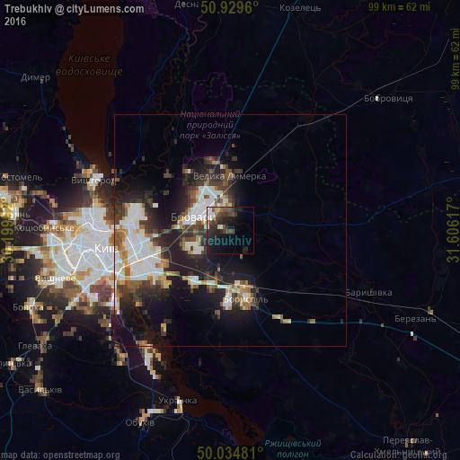
Analysis of Trebukhiv night lights 2016
Square area 10x10 km:
 2.24%
2.24%90-99
2.8%80-89
1.12%70-79
0.56%60-69
1.54%50-59
1.4%40-49
6.86%30-39
5.88%20-29
10.92%10-19
17.51%0-9
49.16%Square area 50x50 km:
3.42%90-99
2.8%80-89
1.12%70-79
1.1%60-69
1.61%50-59
1.72%40-49
2.12%30-39
3.14%20-29
4.79%10-19
9.61%0-9
68.59%Clear (daylight) street map image can be seen on geolist.org.
Map coordinates:
50° 55' 46.6" North, 30° 11' 59.7" East
50° 29' 3.6" North, 30° 54' 10.9" East
50° 2' 5.3" North, 31° 36' 22.2" East
Some cities around Trebukhiv sort by population:
• Kyiv
27 km =16.8 mi,  262°
262°
• Brovary
7.8 km =4.8 mi,  298°
298°
• Boryspil’
15.1 km =9.4 mi,  165°
165°
• Vyshhorod
31.3 km =19.4 mi,  290°
290°
• Baryshivka
32.7 km =20.3 mi,  114°
114°
• Velyka Dymerka
12.1 km =7.5 mi,  0°
0°
• Hnidyn
22 km =13.7 mi,  218°
218°
• Knyazhichi
8.8 km =5.5 mi,  254°
254°
691336 (p: 6,207)
Sources (retrieved 2019-11-25):
» Earth at Night: Flat Maps 2012, 2016