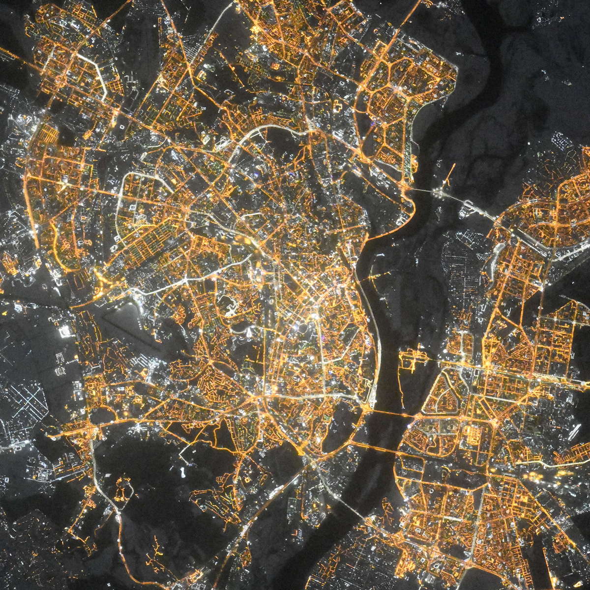
Kyiv night lights from space
Night Light of Kyiv (Kyiv City) from space (Ukraine) Src. Average luminocity for 10x10km area is 90.3431% and for 50x50km: 30.531%.
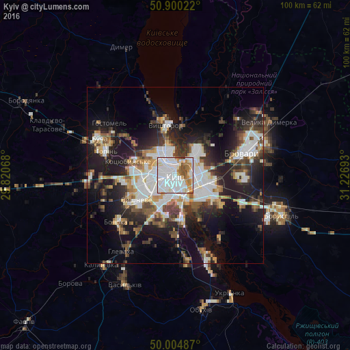
Analysis of Kyiv night lights 2016
Square area 10x10 km:
 50.7%
50.7%90-99
22.41%80-89
4.48%70-79
5.88%60-69
8.82%50-59
5.04%40-49
2.52%30-39
0.14%20-29
0%10-19
0%0-9
0%Square area 50x50 km:
7.94%90-99
6.2%80-89
2.18%70-79
2.85%60-69
3.05%50-59
3.36%40-49
3.9%30-39
4.98%20-29
8.01%10-19
17.12%0-9
40.4%Clear (daylight) street map image can be seen on geolist.org.
Map coordinates:
50° 54' 0.8" North, 29° 49' 14.4" East
50° 27' 16.8" North, 30° 31' 25.7" East
50° 0' 17.5" North, 31° 13' 36.9" East
Fantastic image of Kyiv from space taken by astronauts [src2], but I don't have information about it's orientation, scale or angle. If necessary, it was rotated manually, so North points approximately to upper direction. Click to zoom in:
Some cities around Kyiv sort by population:
• Vyshneve
13.1 km =8.1 mi,  236°
236°
• Vyshhorod
14.7 km =9.1 mi,  350°
350°
• Kotsyubyns’ke
14.2 km =8.8 mi,  285°
285°
• Chabany
14.5 km =9 mi,  209°
209°
• Sofiyivska Borschagivka
12.1 km =7.5 mi,  245°
245°
• Hnidyn
19.3 km =12 mi,  136°
136°
• Horenka
17.7 km =11 mi,  310°
310°
• Knyazhichi
18.4 km =11.4 mi,  87°
87°
703448 (p: 2,797,553)
Sources (retrieved 2019-11-25):
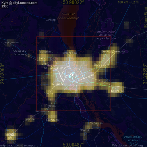
» NASA, Earths city lights 1995
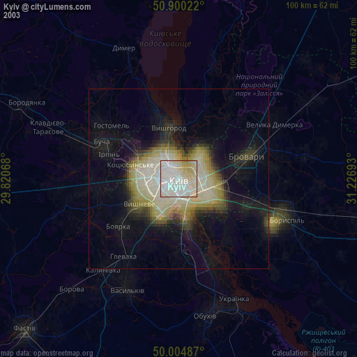
» NASA city lights 2003
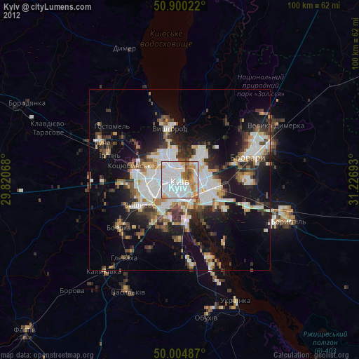
» Earth at Night: Flat Maps 2012, 2016
Src.2: picture by Oleg Kononenko, Roscosmos, retrieved 2019-11-29