Svalyava night lights from space
Night Light of Svalyava (Transcarpathia) from space (Ukraine) Src. Average luminocity for 10x10km area is 0.6994% and for 50x50km: 0.7523%.
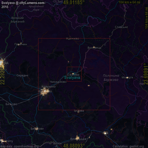
Analysis of Svalyava night lights 2016
Square area 10x10 km:
 0%
0%90-99
0%80-89
0%70-79
0%60-69
0.6%50-59
0.6%40-49
0%30-39
0%20-29
0%10-19
0%0-9
98.81%Square area 50x50 km:
0.01%90-99
0.04%80-89
0.02%70-79
0.05%60-69
0.27%50-59
0.34%40-49
0.17%30-39
0.16%20-29
0.01%10-19
0.15%0-9
98.79%Clear (daylight) street map image can be seen on geolist.org.
Map coordinates:
49° 0' 42.7" North, 22° 17' 33.6" East
48° 32' 54.7" North, 22° 59' 44.8" East
48° 4' 51.3" North, 23° 41' 56.1" East
Some cities around Svalyava sort by population:
• Mukacheve
23.8 km =14.8 mi,  239°
239°
• Mizhhirya
37.6 km =23.4 mi,  94°
94°
• Irshava
26 km =16.2 mi,  173°
173°
• Bilky
27.9 km =17.3 mi,  158°
158°
• Perechyn
43.1 km =26.8 mi,  298°
298°
• Chynadiyovo
14.8 km =9.2 mi, 239°
• Dovhe
29.2 km =18.1 mi,  134°
134°
• Volovets
22.8 km =14.2 mi,  37°
37°
692129 (p: 16,507)
Sources (retrieved 2019-11-25):
» Earth at Night: Flat Maps 2012, 2016