Mizhhirya night lights from space
Night Light of Mizhhirya (Transcarpathia) from space (Ukraine) Src. Average luminocity for 10x10km area is 0.8523% and for 50x50km: 0.0592%.
Analysis of Mizhhirya night lights 2016
Square area 10x10 km:
 0%
0%90-99
0%80-89
0.57%70-79
0%60-69
0%50-59
0.57%40-49
0%30-39
0%20-29
0%10-19
0%0-9
98.86%Square area 50x50 km:
0%90-99
0%80-89
0.02%70-79
0.02%60-69
0%50-59
0.02%40-49
0%30-39
0.02%20-29
0%10-19
0%0-9
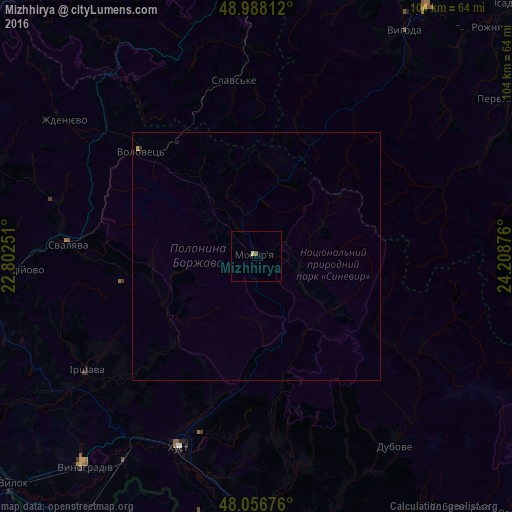
99.91%Clear (daylight) street map image can be seen on geolist.org.
Map coordinates:
48° 59' 17.2" North, 22° 48' 9" East
48° 31' 28.5" North, 23° 30' 20.3" East
48° 3' 24.3" North, 24° 12' 31.5" East
Some cities around Mizhhirya sort by population:
• Khust
41.3 km =25.7 mi,  201°
201°
• Svalyava
37.6 km =23.4 mi,  274°
274°
• Irshava
41.5 km =25.8 mi,  236°
236°
• Bilky
36.1 km =22.4 mi,  229°
229°
• Dovhe
24.4 km =15.2 mi,  223°
223°
• Slavske
36.2 km =22.5 mi,  353°
353°
• Iza
36.8 km =22.9 mi, 200°
• Volovets
31.4 km =19.5 mi,  311°
311°
701299 (p: 10,000)
Sources (retrieved 2019-11-25):
» Earth at Night: Flat Maps 2012, 2016