Sudak night lights from space
Night Light of Sudak (Crimea) from space (Ukraine) Src. Average luminocity for 10x10km area is 4.8937% and for 50x50km: 0.2447%.
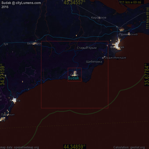
Analysis of Sudak night lights 2016
Square area 10x10 km:
 0%
0%90-99
0%80-89
0.16%70-79
0.48%60-69
1.27%50-59
2.22%40-49
1.59%30-39
0.79%20-29
3.02%10-19
0.63%0-9
89.84%Square area 50x50 km:
0%90-99
0%80-89
0.01%70-79
0.02%60-69
0.05%50-59
0.09%40-49
0.14%30-39
0.04%20-29
0.14%10-19
0.06%0-9
99.47%Clear (daylight) street map image can be seen on geolist.org.
Map coordinates:
45° 20' 44.1" North, 34° 16' 17.7" East
44° 50' 57.3" North, 34° 58' 29" East
44° 20' 54.9" North, 35° 40' 40.2" East
Some cities around Sudak sort by population:
• Feodosiya
37.9 km =23.5 mi,  57°
57°
• Alushta
48.5 km =30.1 mi,  246°
246°
• Bilohirsk
37.2 km =23.1 mi,  307°
307°
• Primorskiy
49.2 km =30.6 mi,  53°
53°
• Sovetskiy
55 km =34.2 mi,  355°
355°
• Stary Krym
22 km =13.7 mi,  24°
24°
• Kirovskoye
45.9 km =28.5 mi, 22°
• Zuya
56.2 km =34.9 mi,  293°
293°
692315 (p: 16,597)
Sources (retrieved 2019-11-25):
» Earth at Night: Flat Maps 2012, 2016