Zuya night lights from space
Night Light of Zuya (Crimea) from space (Ukraine) Src. Average luminocity for 10x10km area is 0.003% and for 50x50km: 3.3395%.
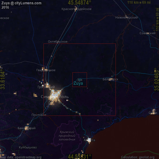
Analysis of Zuya night lights 2016
Square area 10x10 km:
 0%
0%90-99
0%80-89
0%70-79
0%60-69
0%50-59
0%40-49
0%30-39
0%20-29
0%10-19
0%0-9
100%Square area 50x50 km:
0.32%90-99
0.49%80-89
0.34%70-79
0.46%60-69
0.46%50-59
0.53%40-49
0.49%30-39
0.43%20-29
1.21%10-19
2.72%0-9
92.56%Clear (daylight) street map image can be seen on geolist.org.
Map coordinates:
45° 32' 55.5" North, 33° 37' 6.2" East
45° 3' 15" North, 34° 19' 17.5" East
44° 33' 19.1" North, 35° 1' 28.7" East
Some cities around Zuya sort by population:
• Simferopol
19.8 km =12.3 mi,  236°
236°
• Bilohirsk
22 km =13.7 mi,  89°
89°
• Hvardiiske
24.5 km =15.2 mi,  286°
286°
• Gresovskiy
23.7 km =14.7 mi,  257°
257°
• Mirnoye
21.9 km =13.6 mi,  248°
248°
• Molodyozhnoye
21.6 km =13.4 mi, 254°
• Pionerskoye
21.4 km =13.3 mi,  206°
206°
• Chisten’koye
28.9 km =18 mi,  228°
228°
686812 (p: 6,230)
Sources (retrieved 2019-11-25):
» Earth at Night: Flat Maps 2012, 2016