Feodosiya night lights from space
Night Light of Feodosiya (Crimea) from space (Ukraine) Src. Average luminocity for 10x10km area is 25.0515% and for 50x50km: 1.3985%.
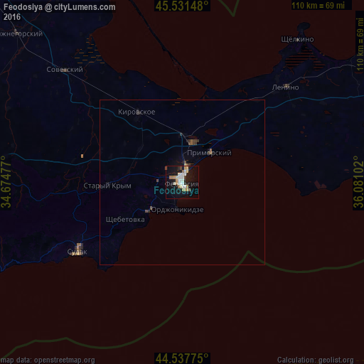
Analysis of Feodosiya night lights 2016
Square area 10x10 km:
 4.39%
4.39%90-99
6.06%80-89
1.52%70-79
3.03%60-69
4.55%50-59
1.52%40-49
1.06%30-39
0.3%20-29
2.12%10-19
28.48%0-9
46.97%Square area 50x50 km:
0.18%90-99
0.24%80-89
0.07%70-79
0.12%60-69
0.19%50-59
0.18%40-49
0.23%30-39
0.13%20-29
0.19%10-19
1.38%0-9
97.08%Clear (daylight) street map image can be seen on geolist.org.
Map coordinates:
45° 31' 53.3" North, 34° 40' 29.2" East
45° 1' 55.2" North, 35° 22' 53.5" East
44° 32' 15.9" North, 36° 4' 51.7" East
Some cities around Feodosiya sort by population:
• Sudak
37.9 km =23.5 mi,  237°
237°
• Bilohirsk
61.3 km =38.1 mi,  272°
272°
• Primorskiy
11.7 km =7.3 mi,  40°
40°
• Shchyolkino
56.1 km =34.9 mi, 37°
• Sovetskiy
49.8 km =30.9 mi,  313°
313°
• Stary Krym
22.8 km =14.2 mi, 269°
• Lenino
42.9 km =26.7 mi,  46°
46°
• Kirovskoye
26.2 km =16.3 mi,  327°
327°
709161 (p: 68,562)
Sources (retrieved 2019-11-25):
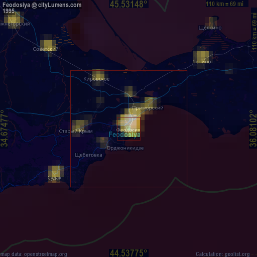
» NASA, Earths city lights 1995
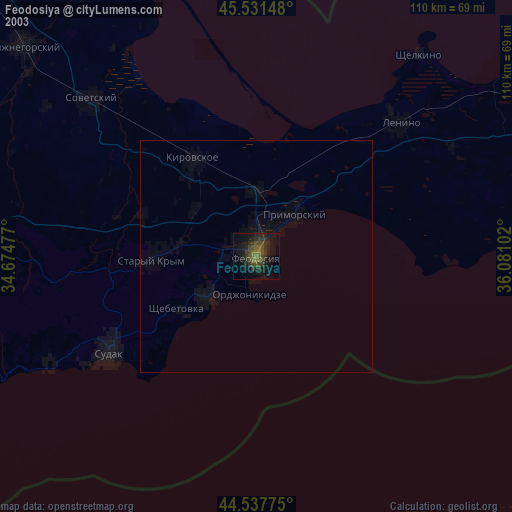
» NASA city lights 2003
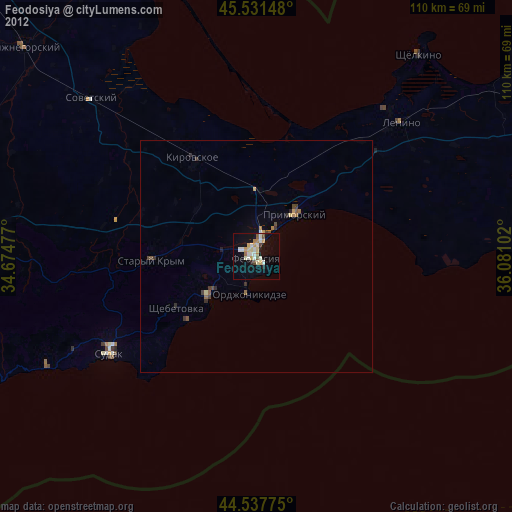
» Earth at Night: Flat Maps 2012, 2016