Alushta night lights from space
Night Light of Alushta (Crimea) from space (Ukraine) Src. Average luminocity for 10x10km area is 9.2318% and for 50x50km: 2.0314%.
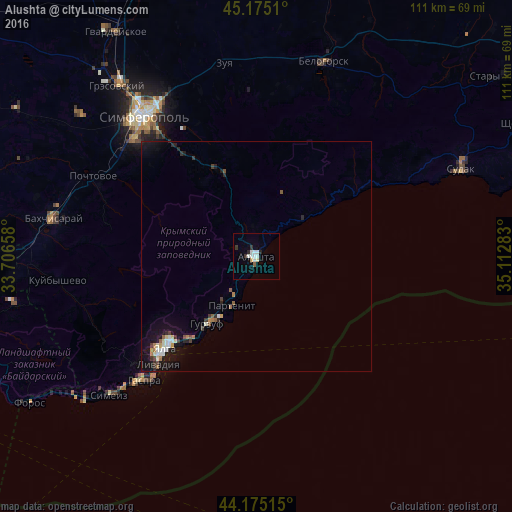
Analysis of Alushta night lights 2016
Square area 10x10 km:
 2.42%
2.42%90-99
3.03%80-89
0%70-79
0.61%60-69
0.15%50-59
0.45%40-49
0%30-39
1.67%20-29
1.36%10-19
0%0-9
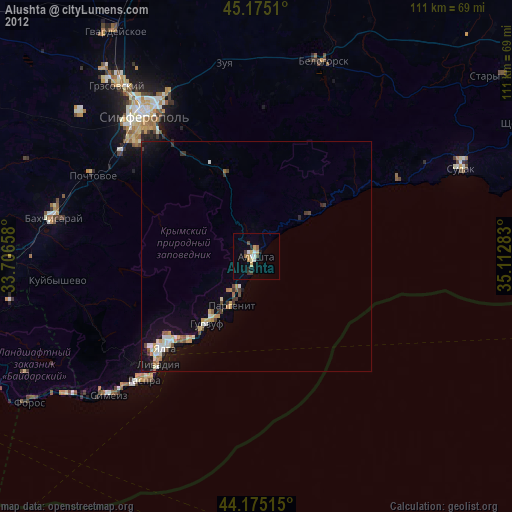
90.3%Square area 50x50 km:
0.29%90-99
0.39%80-89
0.11%70-79
0.15%60-69
0.23%50-59
0.25%40-49
0.15%30-39
0.38%20-29
0.4%10-19
1.8%0-9
95.87%Clear (daylight) street map image can be seen on geolist.org.
Map coordinates:
45° 10' 30.4" North, 33° 42' 23.7" East
44° 40' 38.2" North, 34° 24' 34.9" East
44° 10' 30.5" North, 35° 6' 46.2" East
Some cities around Alushta sort by population:
• Yalta
27.4 km =17 mi,  224°
224°
• Gaspra
36.4 km =22.6 mi, 221°
• Gurzuf
17.9 km =11.1 mi, 215°
• Massandra
25.6 km =15.9 mi, 223°
• Partenit
12.2 km =7.6 mi,  205°
205°
• Pionerskoye
27.9 km =17.3 mi,  324°
324°
• Koreiz
37.3 km =23.2 mi, 223°
• Chisten’koye
36.5 km =22.7 mi,  308°
308°
713513 (p: 29,586)
Sources (retrieved 2019-11-25):
» Earth at Night: Flat Maps 2012, 2016