Stara Syniava night lights from space
Night Light of Stara Syniava (Khmelnytskyi) from space (Ukraine) Src. Average luminocity for 10x10km area is 0% and for 50x50km: 0.003%.
Analysis of Stara Syniava night lights 2016
Square area 10x10 km:
 0%
0%90-99
0%80-89
0%70-79
0%60-69
0%50-59
0%40-49
0%30-39
0%20-29
0%10-19
0%0-9
100%Square area 50x50 km:
0%90-99
0%80-89
0%70-79
0%60-69
0%50-59
0%40-49
0%30-39
0%20-29
0%10-19
0%0-9
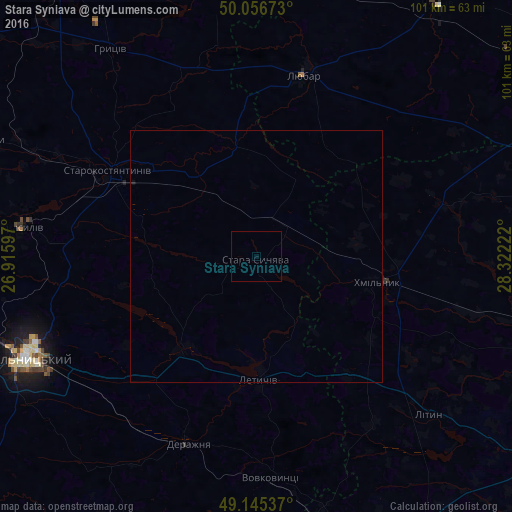
100%Clear (daylight) street map image can be seen on geolist.org.
Map coordinates:
50° 3' 24.2" North, 26° 54' 57.5" East
49° 36' 11.4" North, 27° 37' 8.7" East
49° 8' 43.3" North, 28° 19' 20" East
Some cities around Stara Syniava sort by population:
• Khmelnytskyi
49.3 km =30.6 mi,  245°
245°
• Starokostiantyniv
34.5 km =21.4 mi,  299°
299°
• Khmilnyk
24.9 km =15.5 mi,  101°
101°
• Polonne
58.5 km =36.4 mi,  352°
352°
• Krasyliv
46.9 km =29.1 mi,  276°
276°
• Letychiv
24.5 km =15.2 mi,  178°
178°
• Derazhnya
39.5 km =24.5 mi,  199°
199°
• Lityn
45.5 km =28.3 mi,  132°
132°
692866 (p: 5,771)
Sources (retrieved 2019-11-25):
» Earth at Night: Flat Maps 2012, 2016