Pervomays’k night lights from space
Night Light of Pervomays’k (Luhansk) from space (Ukraine) Src. Average luminocity for 10x10km area is 0.2589% and for 50x50km: 1.7038%.
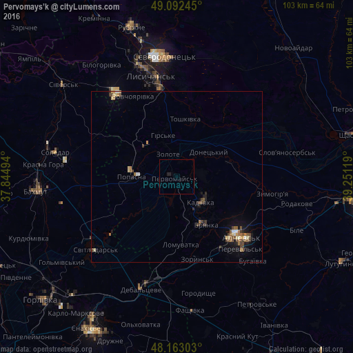
Analysis of Pervomays’k night lights 2016
Square area 10x10 km:
 0%
0%90-99
0%80-89
0%70-79
0%60-69
0%50-59
0%40-49
0%30-39
0%20-29
0.3%10-19
0.89%0-9
98.81%Square area 50x50 km:
0.07%90-99
0.15%80-89
0.22%70-79
0.17%60-69
0.38%50-59
0.34%40-49
0.4%30-39
0.26%20-29
0.22%10-19
0.97%0-9
96.82%Clear (daylight) street map image can be seen on geolist.org.
Map coordinates:
49° 5' 32.8" North, 37° 50' 41.8" East
48° 37' 47.6" North, 38° 32' 53" East
48° 9' 46.9" North, 39° 15' 4.3" East
Some cities around Pervomays’k sort by population:
• Alchevs’k
26.7 km =16.6 mi,  132°
132°
• Kadiyivka
9.8 km =6.1 mi, 134°
• Bryanka
16.1 km =10 mi,  145°
145°
• Kirovs’k
7 km =4.3 mi,  83°
83°
• Popasna
12.5 km =7.8 mi,  271°
271°
• Hirs’ke
12.3 km =7.6 mi,  341°
341°
• Artemivs’k
25 km =15.5 mi, 147°
• Zoryns’k
24.9 km =15.5 mi,  167°
167°
697592 (p: 41,480)
Sources (retrieved 2019-11-25):
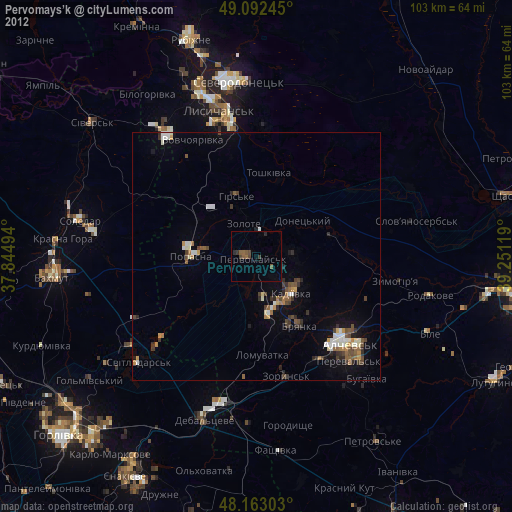
» Earth at Night: Flat Maps 2012, 2016