Shchastya night lights from space
Night Light of Shchastya (Luhansk) from space (Ukraine) Src. Average luminocity for 10x10km area is 2.3051% and for 50x50km: 1.653%.
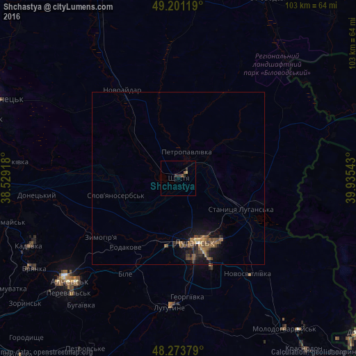
Analysis of Shchastya night lights 2016
Square area 10x10 km:
 0%
0%90-99
0%80-89
0.6%70-79
0%60-69
0.45%50-59
0.74%40-49
0%30-39
1.79%20-29
1.19%10-19
0%0-9
95.24%Square area 50x50 km:
0.02%90-99
0.02%80-89
0.17%70-79
0.11%60-69
0.49%50-59
0.46%40-49
0.49%30-39
0.39%20-29
0.41%10-19
1.35%0-9
96.09%Clear (daylight) street map image can be seen on geolist.org.
Map coordinates:
49° 12' 4.3" North, 38° 31' 45" East
48° 44' 22.7" North, 39° 13' 56.3" East
48° 16' 25.6" North, 39° 56' 7.5" East
Some cities around Shchastya sort by population:
• Luhansk
20.2 km =12.6 mi,  162°
162°
• Lutuhyne
37.2 km =23.1 mi,  180°
180°
• Stanytsya Luhans’ka
20.5 km =12.7 mi,  117°
117°
• Zymohiria
27.6 km =17.1 mi,  231°
231°
• Uspenka
39.1 km =24.3 mi,  187°
187°
• Slov`yanoserbsk
19 km =11.8 mi,  255°
255°
• Bile
30.3 km =18.8 mi,  206°
206°
• Rozkishne
28 km =17.4 mi,  172°
172°
694725 (p: 13,800)
Sources (retrieved 2019-11-25):
» Earth at Night: Flat Maps 2012, 2016