Slov`yanoserbsk night lights from space
Night Light of Slov`yanoserbsk (Luhansk) from space (Ukraine) Src. Average luminocity for 10x10km area is 0% and for 50x50km: 1.5896%.
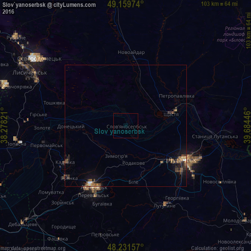
Analysis of Slov`yanoserbsk night lights 2016
Square area 10x10 km:
 0%
0%90-99
0%80-89
0%70-79
0%60-69
0%50-59
0%40-49
0%30-39
0%20-29
0%10-19
0%0-9
100%Square area 50x50 km:
0.06%90-99
0.1%80-89
0.15%70-79
0.12%60-69
0.36%50-59
0.37%40-49
0.35%30-39
0.41%20-29
0.43%10-19
1.18%0-9
96.46%Clear (daylight) street map image can be seen on geolist.org.
Map coordinates:
49° 9' 35.1" North, 38° 16' 41.6" East
48° 41' 52" North, 38° 58' 52.8" East
48° 13' 53.7" North, 39° 41' 4.1" East
Some cities around Slov`yanoserbsk sort by population:
• Luhansk
28.6 km =17.8 mi,  120°
120°
• Alchevs’k
28.2 km =17.5 mi,  205°
205°
• Kadiyivka
28.7 km =17.8 mi,  239°
239°
• Kirovs’k
25.7 km =16 mi,  254°
254°
• Pereval’s’k
30.6 km =19 mi,  199°
199°
• Shchastya
19 km =11.8 mi,  75°
75°
• Zymohiria
12.9 km =8 mi,  194°
194°
• Bile
23.1 km =14.4 mi,  167°
167°
693469 (p: 8,065)
Sources (retrieved 2019-11-25):
» Earth at Night: Flat Maps 2012, 2016