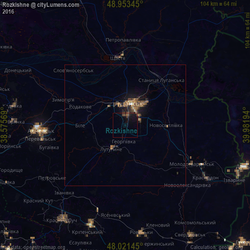
Rozkishne night lights from space
Night Light of Rozkishne (Luhansk) from space (Ukraine) Src. Average luminocity for 10x10km area is 4.804% and for 50x50km: 1.758%.
Analysis of Rozkishne night lights 2016
Square area 10x10 km:
 0%
0%90-99
0%80-89
0.28%70-79
0%60-69
0.28%50-59
0.57%40-49
1.85%30-39
1.85%20-29
1.28%10-19
7.81%0-9
86.08%Square area 50x50 km:
0.02%90-99
0.02%80-89
0.16%70-79
0.12%60-69
0.54%50-59
0.47%40-49
0.52%30-39
0.38%20-29
0.42%10-19
1.38%0-9
95.97%Clear (daylight) street map image can be seen on geolist.org.
Map coordinates:
48° 57' 12.4" North, 38° 34' 32.5" East
48° 29' 22.5" North, 39° 16' 43.7" East
48° 1' 17.2" North, 39° 58' 55" East
Some cities around Rozkishne sort by population:
• Luhansk
9.1 km =5.7 mi,  18°
18°
• Lutuhyne
10.2 km =6.3 mi,  202°
202°
• Shchastya
28 km =17.4 mi,  352°
352°
• Stanytsya Luhans’ka
23.5 km =14.6 mi,  38°
38°
• Zymohiria
27.3 km =17 mi,  292°
292°
• Uspenka
13.9 km =8.6 mi,  217°
217°
• Bile
16.8 km =10.4 mi,  272°
272°
• Teple
28.8 km =17.9 mi,  133°
133°
695441 (p: 6,205)
Sources (retrieved 2019-11-25):
» Earth at Night: Flat Maps 2012, 2016