Luhansk night lights from space
Night Light of Luhansk from space (Ukraine) Src. Average luminocity for 10x10km area is 31.5491% and for 50x50km: 1.8943%.
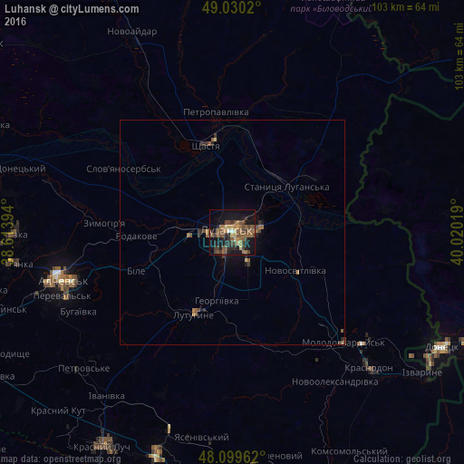
Analysis of Luhansk night lights 2016
Square area 10x10 km:
 0.6%
0.6%90-99
0.6%80-89
3.72%70-79
2.98%60-69
9.23%50-59
9.08%40-49
11.01%30-39
6.1%20-29
7.89%10-19
29.17%0-9
19.64%Square area 50x50 km:
0.02%90-99
0.02%80-89
0.19%70-79
0.13%60-69
0.56%50-59
0.54%40-49
0.55%30-39
0.44%20-29
0.48%10-19
1.39%0-9
95.69%Clear (daylight) street map image can be seen on geolist.org.
Map coordinates:
49° 1' 48.7" North, 38° 36' 50.2" East
48° 34' 1.4" North, 39° 19' 1.4" East
48° 5' 58.6" North, 40° 1' 12.7" East
Some cities around Luhansk sort by population:
• Lutuhyne
19.2 km =11.9 mi,  200°
200°
• Shchastya
20.2 km =12.6 mi,  342°
342°
• Stanytsya Luhans’ka
15.4 km =9.6 mi,  50°
50°
• Zymohiria
28 km =17.4 mi,  274°
274°
• Uspenka
22.7 km =14.1 mi,  210°
210°
• Slov`yanoserbsk
28.6 km =17.8 mi,  300°
300°
• Bile
21.2 km =13.2 mi,  247°
247°
• Rozkishne
9.1 km =5.7 mi, 198°
702658 (p: 452,000)
Sources (retrieved 2019-11-25):
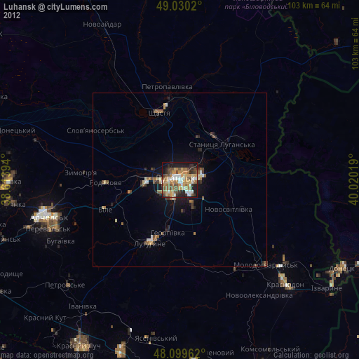
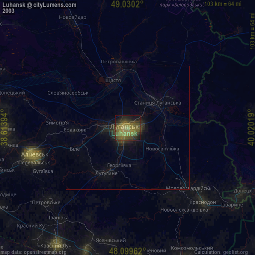
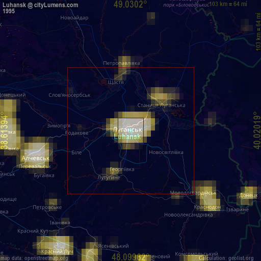
» NASA, Earths city lights 1995
» NASA city lights 2003
» Earth at Night: Flat Maps 2012, 2016