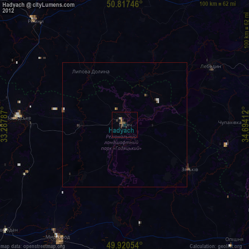
Hadyach night lights from space
Night Light of Hadyach (Poltava) from space (Ukraine) Src. Average luminocity for 10x10km area is 2.3754% and for 50x50km: 0.243%.
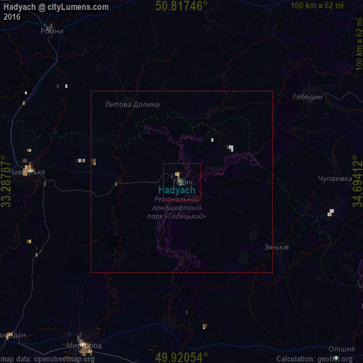
Analysis of Hadyach night lights 2016
Square area 10x10 km:
 0%
0%90-99
0%80-89
0.28%70-79
0.84%60-69
0%50-59
0.56%40-49
1.12%30-39
0.56%20-29
0.56%10-19
1.12%0-9
94.96%Square area 50x50 km:
0.04%90-99
0.04%80-89
0.01%70-79
0.03%60-69
0.02%50-59
0.02%40-49
0.07%30-39
0.05%20-29
0.05%10-19
0.09%0-9
99.56%Clear (daylight) street map image can be seen on geolist.org.
Map coordinates:
50° 49' 2.9" North, 33° 17' 16.3" East
50° 22' 16" North, 33° 59' 27.6" East
49° 55' 13.9" North, 34° 41' 38.8" East
Some cities around Hadyach sort by population:
• Romny
55.8 km =34.7 mi,  319°
319°
• Myrhorod
52.4 km =32.6 mi,  211°
211°
• Lebedyn
42.3 km =26.3 mi,  55°
55°
• Lokhvytsya
51.8 km =32.2 mi,  269°
269°
• Zin’kiv
32.1 km =19.9 mi,  124°
124°
• Nedryhayliv
52.1 km =32.4 mi,  351°
351°
• Shyshaky
54.4 km =33.8 mi,  178°
178°
• Lypova Dolyna
25.5 km =15.8 mi,  327°
327°
709054 (p: 22,667)
Sources (retrieved 2019-11-25):
» Earth at Night: Flat Maps 2012, 2016