Velyki Kopani night lights from space
Night Light of Velyki Kopani (Kherson) from space (Ukraine) Src. Average luminocity for 10x10km area is 0.5313% and for 50x50km: 0.9769%.
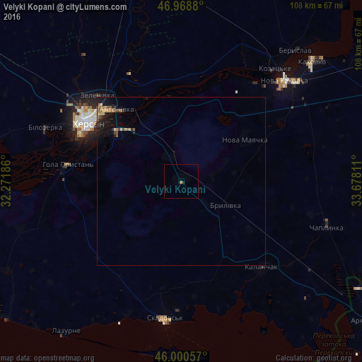
Analysis of Velyki Kopani night lights 2016
Square area 10x10 km:
 0%
0%90-99
0%80-89
0%70-79
0%60-69
0.57%50-59
0%40-49
0%30-39
0%20-29
0.57%10-19
0%0-9
98.86%Square area 50x50 km:
0%90-99
0.06%80-89
0.2%70-79
0.09%60-69
0.2%50-59
0.18%40-49
0.16%30-39
0.08%20-29
0.33%10-19
1.09%0-9
97.61%Clear (daylight) street map image can be seen on geolist.org.
Map coordinates:
46° 58' 7.7" North, 32° 16' 18.7" East
46° 29' 12.6" North, 32° 58' 29.9" East
46° 0' 2.1" North, 33° 40' 41.2" East
Some cities around Velyki Kopani sort by population:
• Kherson
33.1 km =20.6 mi,  304°
304°
• Nova Kakhovka
41.2 km =25.6 mi,  43°
43°
• Tsyurupyns’k
24.4 km =15.2 mi,  306°
306°
• Hola Prystan’
34.8 km =21.6 mi,  277°
277°
• Kalanchak
35.3 km =21.9 mi,  136°
136°
• Chornobayivka
39.6 km =24.6 mi, 305°
• Nova Mayachka
23 km =14.3 mi,  56°
56°
• Komyshany
39.5 km =24.5 mi, 295°
690165 (p: 5,464)
Sources (retrieved 2019-11-25):
» Earth at Night: Flat Maps 2012, 2016