Molodohvardiys’k night lights from space
Night Light of Molodohvardiys’k (Luhansk) from space (Ukraine) Src. Average luminocity for 10x10km area is 3.5469% and for 50x50km: 1.5212%.
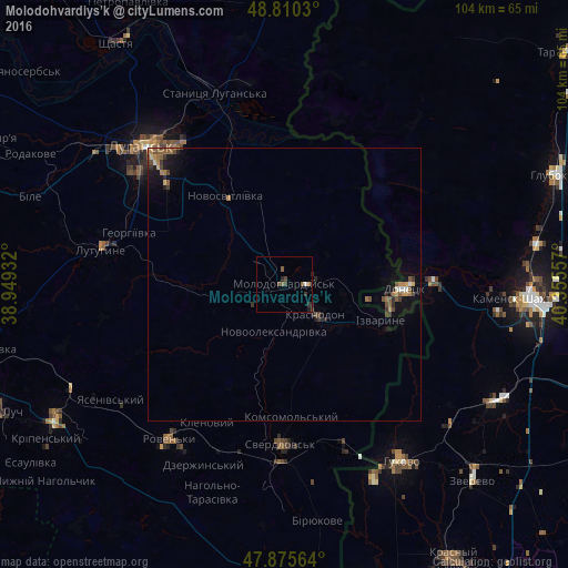
Analysis of Molodohvardiys’k night lights 2016
Square area 10x10 km:
 0%
0%90-99
0.57%80-89
0%70-79
0%60-69
0.57%50-59
1.7%40-49
1.14%30-39
1.28%20-29
0.99%10-19
0.57%0-9
93.18%Square area 50x50 km:
0.05%90-99
0.09%80-89
0.11%70-79
0.18%60-69
0.32%50-59
0.42%40-49
0.37%30-39
0.31%20-29
0.32%10-19
0.87%0-9
96.94%Clear (daylight) street map image can be seen on geolist.org.
Map coordinates:
48° 48' 37.1" North, 38° 56' 57.6" East
48° 20' 42.4" North, 39° 39' 8.8" East
47° 52' 32.3" North, 40° 21' 20.1" East
Some cities around Molodohvardiys’k sort by population:
• Luhansk
34.9 km =21.7 mi,  314°
314°
• Sverdlovs’k
28.4 km =17.6 mi,  180°
180°
• Donetsk, RU
22.7 km =14.1 mi,  91°
91°
• Sorokyne
8.7 km =5.4 mi,  132°
132°
• Lutuhyne
32.1 km =19.9 mi,  281°
281°
• Chervonopartyzans’k
31.7 km =19.7 mi,  160°
160°
• Rozkishne
31.9 km =19.8 mi,  300°
300°
• Teple
7.6 km =4.7 mi,  241°
241°
700829 (p: 25,654)
Sources (retrieved 2019-11-25):
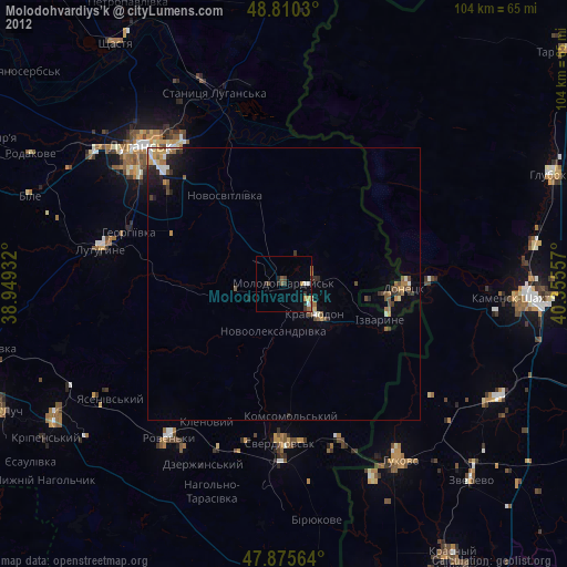
» Earth at Night: Flat Maps 2012, 2016