Sverdlovs’k night lights from space
Night Light of Sverdlovs’k (Luhansk) from space (Ukraine) Src. Average luminocity for 10x10km area is 4.497% and for 50x50km: 1.4348%.
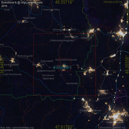
Analysis of Sverdlovs’k night lights 2016
Square area 10x10 km:
 0%
0%90-99
0%80-89
0%70-79
0%60-69
0.45%50-59
1.93%40-49
2.68%30-39
2.68%20-29
2.38%10-19
0.45%0-9
89.43%Square area 50x50 km:
0.02%90-99
0.07%80-89
0.1%70-79
0.13%60-69
0.22%50-59
0.33%40-49
0.54%30-39
0.42%20-29
0.34%10-19
0.54%0-9
97.29%Clear (daylight) street map image can be seen on geolist.org.
Map coordinates:
48° 33' 25.8" North, 38° 56' 57.5" East
48° 5' 22.7" North, 39° 39' 8.7" East
47° 37' 4.2" North, 40° 21' 20" East
Some cities around Sverdlovs’k sort by population:
• Gukovo, RU
21.3 km =13.2 mi,  98°
98°
• Roven’ky
20.4 km =12.7 mi,  268°
268°
• Sorokyne
23.4 km =14.5 mi,  15°
15°
• Molodohvardiys’k
28.4 km =17.6 mi,  0°
0°
• Zverevo, RU
35.8 km =22.2 mi, 102°
• Chervonopartyzans’k
10.8 km =6.7 mi, 98°
• Sokolovo-Kundryuchenskiy, RU
35.8 km =22.2 mi,  142°
142°
• Teple
25.6 km =15.9 mi,  344°
344°
692105 (p: 68,000)
Sources (retrieved 2019-11-25):
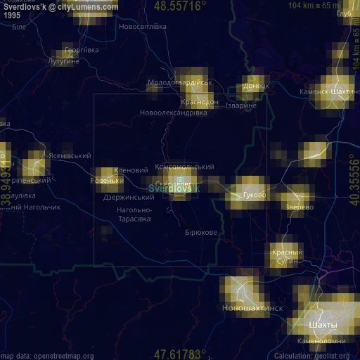
» NASA, Earths city lights 1995
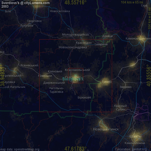
» NASA city lights 2003
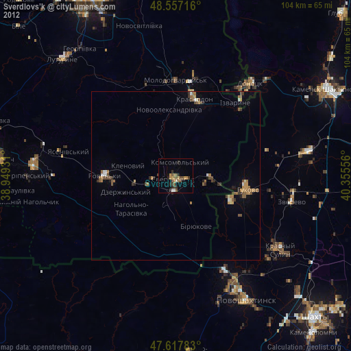
» Earth at Night: Flat Maps 2012, 2016