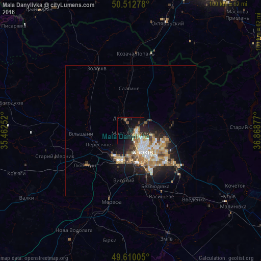
Mala Danylivka night lights from space
Night Light of Mala Danylivka (Kharkiv) from space (Ukraine) Src. Average luminocity for 10x10km area is 25.3109% and for 50x50km: 8.5571%.
Analysis of Mala Danylivka night lights 2016
Square area 10x10 km:
 3.92%
3.92%90-99
3.08%80-89
3.92%70-79
2.52%60-69
3.5%50-59
4.62%40-49
1.54%30-39
2.94%20-29
8.68%10-19
20.31%0-9
44.96%Square area 50x50 km:
1.14%90-99
1.54%80-89
0.93%70-79
1.33%60-69
1.58%50-59
1.16%40-49
0.96%30-39
0.99%20-29
2.33%10-19
5.23%0-9
82.81%Clear (daylight) street map image can be seen on geolist.org.
Map coordinates:
50° 30' 46" North, 35° 27' 45.1" East
50° 3' 48.7" North, 36° 9' 56.3" East
49° 36' 36.2" North, 36° 52' 7.6" East
Some cities around Mala Danylivka sort by population:
• Kharkiv
11.1 km =6.9 mi,  145°
145°
• Derhachi
5.7 km =3.5 mi,  326°
326°
• Solonytsivka
11.9 km =7.4 mi,  231°
231°
• Vysokyy
19.4 km =12.1 mi,  189°
189°
• Pokotylivka
16.7 km =10.4 mi,  177°
177°
• Pivdenne
21.2 km =13.2 mi,  199°
199°
• Peresichna
14 km =8.7 mi,  251°
251°
• Slatyne
16.4 km =10.2 mi,  357°
357°
702231 (p: 7,211)
Sources (retrieved 2019-11-25):
» Earth at Night: Flat Maps 2012, 2016