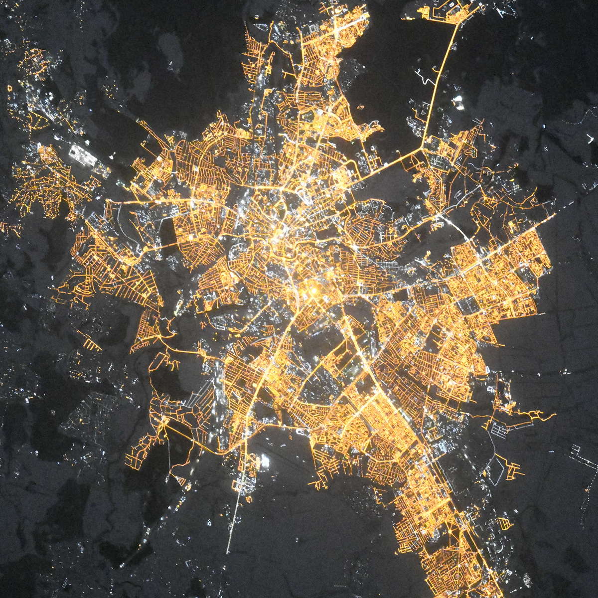
Kharkiv night lights from space
Night Light of Kharkiv from space (Ukraine) Src. Average luminocity for 10x10km area is 77.8263% and for 50x50km: 8.7494%.
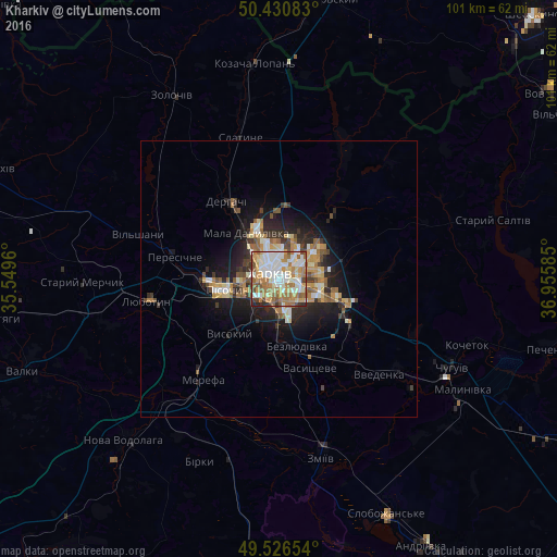
Analysis of Kharkiv night lights 2016
Square area 10x10 km:
 19.05%
90-99
22.41%80-89
7.42%70-79
13.17%60-69
19.33%50-59
8.26%40-49
5.46%30-39
3.08%20-29
1.82%10-19
0%0-9
0%Square area 50x50 km:
1.16%90-99
1.57%80-89
0.95%70-79
1.35%60-69
1.61%50-59
1.21%40-49
1%30-39
1.02%20-29
2.37%10-19
5.36%0-9
82.42%Clear (daylight) street map image can be seen on geolist.org.
Map coordinates:
50° 25' 51" North, 35° 32' 58.6" East
49° 58' 50.9" North, 36° 15' 9.8" East
49° 31' 35.5" North, 36° 57' 21.1" East
Fantastic image of Kharkiv from space taken by astronauts [src2], but I don't have information about it's orientation, scale or angle. If necessary, it was rotated manually, so North points approximately to upper direction. Click to zoom in:
Some cities around Kharkiv sort by population:
• Derhachi
16.8 km =10.4 mi,  326°
326°
• Solonytsivka
15.7 km =9.8 mi,  276°
276°
• Vysokyy
13.7 km =8.5 mi,  223°
223°
• Pokotylivka
9.3 km =5.8 mi, 216°
• Bezlyudivka
11.7 km =7.3 mi,  175°
175°
• Pivdenne
17.1 km =10.6 mi,  230°
230°
• Mala Danylivka
11.1 km =6.9 mi, 325°
• Vasyshcheve
17.7 km =11 mi,  162°
162°
706483 (p: 1,430,885)
Sources (retrieved 2019-11-25):
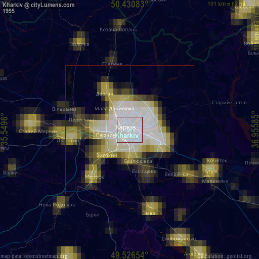
» NASA, Earths city lights 1995
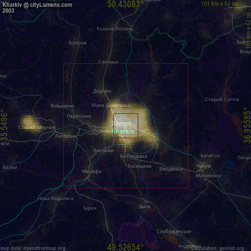
» NASA city lights 2003
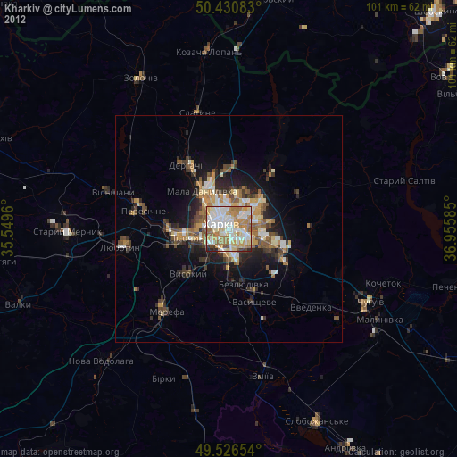
» Earth at Night: Flat Maps 2012, 2016
Src.2: picture by Oleg Kononenko,ĀRoscosmos, retrieved 2019-11-29