Lozova night lights from space
Night Light of Lozova (Kharkiv) from space (Ukraine) Src. Average luminocity for 10x10km area is 3.4006% and for 50x50km: 0.21%.
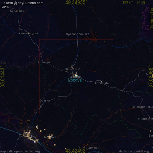
Analysis of Lozova night lights 2016
Square area 10x10 km:
 0.28%
0.28%90-99
0.28%80-89
0%70-79
1.14%60-69
0%50-59
0%40-49
1.14%30-39
1.85%20-29
0.43%10-19
1.99%0-9
92.9%Square area 50x50 km:
0.01%90-99
0.01%80-89
0%70-79
0.05%60-69
0%50-59
0%40-49
0.05%30-39
0.18%20-29
0.13%10-19
0.12%0-9
99.46%Clear (daylight) street map image can be seen on geolist.org.
Map coordinates:
49° 20' 58.4" North, 35° 36' 51.9" East
48° 53' 21.7" North, 36° 19' 3.2" East
48° 25' 29.7" North, 37° 1' 14.4" East
Some cities around Lozova sort by population:
• Pavlohrad
51.3 km =31.9 mi,  219°
219°
• Pervomays’kyy
55.9 km =34.7 mi,  352°
352°
• Barvinkove
51.4 km =31.9 mi,  87°
87°
• Petropavlivka
48.9 km =30.4 mi,  169°
169°
• Sakhnovshchyna
43.7 km =27.2 mi,  311°
311°
• Krasnopavlivka
27.5 km =17.1 mi,  0°
0°
• Panyutyne
6.1 km =3.8 mi,  329°
329°
• Novodonets’ke
56.5 km =35.1 mi,  120°
120°
702760 (p: 62,311)
Sources (retrieved 2019-11-25):
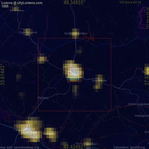
» NASA, Earths city lights 1995
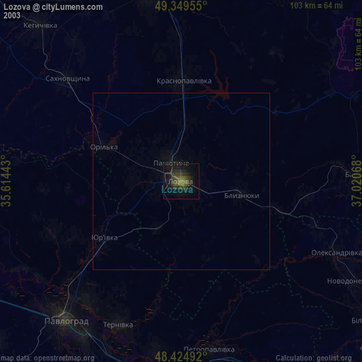
» NASA city lights 2003
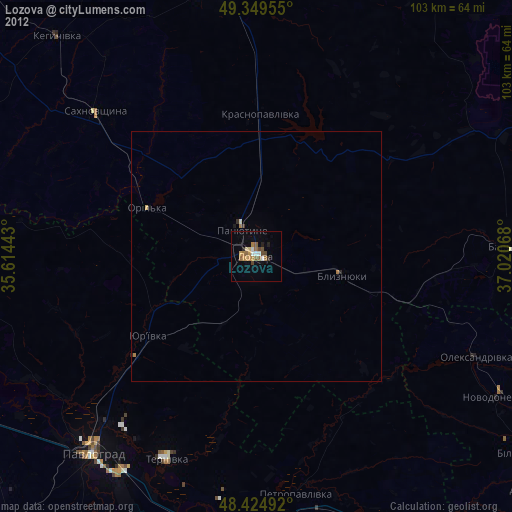
» Earth at Night: Flat Maps 2012, 2016