Pervomays’kyy night lights from space
Night Light of Pervomays’kyy (Kharkiv) from space (Ukraine) Src. Average luminocity for 10x10km area is 1.5922% and for 50x50km: 0.1874%.
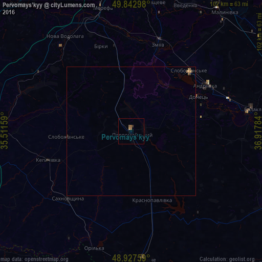
Analysis of Pervomays’kyy night lights 2016
Square area 10x10 km:
 0%
0%90-99
0%80-89
0%70-79
0.4%60-69
0.67%50-59
1.07%40-49
0%30-39
0.53%20-29
0%10-19
0%0-9
97.33%Square area 50x50 km:
0%90-99
0%80-89
0%70-79
0.04%60-69
0.07%50-59
0.11%40-49
0.01%30-39
0.08%20-29
0%10-19
0%0-9
99.69%Clear (daylight) street map image can be seen on geolist.org.
Map coordinates:
49° 50' 34.7" North, 35° 30' 41.7" East
49° 23' 14.7" North, 36° 12' 53" East
48° 55' 39.3" North, 36° 55' 4.2" East
Some cities around Pervomays’kyy sort by population:
• Balakliya
47.4 km =29.5 mi,  79°
79°
• Zmiyiv
33.3 km =20.7 mi,  16°
16°
• Slobozhans’ke
32.4 km =20.1 mi,  43°
43°
• Nova Vodolaha
44.6 km =27.7 mi,  325°
325°
• Sakhnovshchyna
36.1 km =22.4 mi,  223°
223°
• Krasnopavlivka
28.9 km =18 mi,  164°
164°
• Kehychivka
34.7 km =21.6 mi,  251°
251°
• Vasyshcheve
49.7 km =30.9 mi,  9°
9°
697576 (p: 30,000)
Sources (retrieved 2019-11-25):
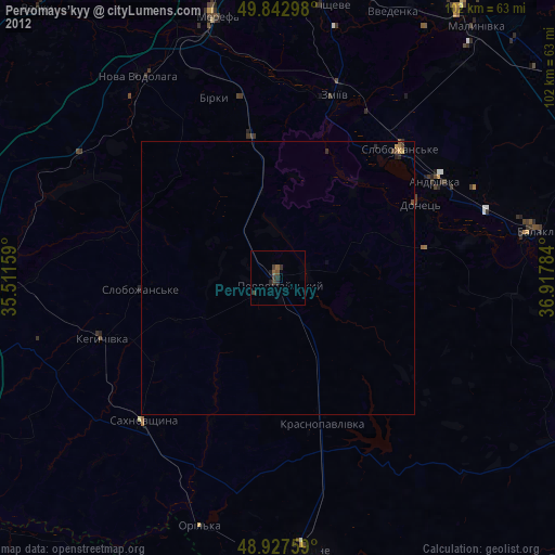
» Earth at Night: Flat Maps 2012, 2016