Pavlohrad night lights from space
Night Light of Pavlohrad (Dnipropetrovsk) from space (Ukraine) Src. Average luminocity for 10x10km area is 15.4539% and for 50x50km: 1.1549%.
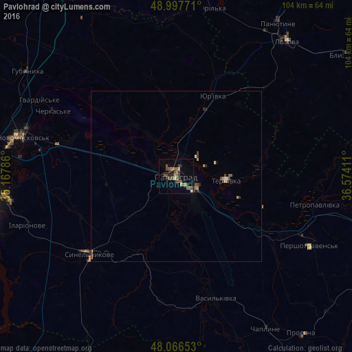
Analysis of Pavlohrad night lights 2016
Square area 10x10 km:
 0%
0%90-99
1.19%80-89
1.19%70-79
0.89%60-69
2.68%50-59
7.29%40-49
4.91%30-39
1.64%20-29
2.68%10-19
3.42%0-9
74.11%Square area 50x50 km:
0.03%90-99
0.09%80-89
0.07%70-79
0.19%60-69
0.12%50-59
0.45%40-49
0.32%30-39
0.11%20-29
0.25%10-19
0.21%0-9
98.17%Clear (daylight) street map image can be seen on geolist.org.
Map coordinates:
48° 59' 51.8" North, 35° 10' 4.3" East
48° 32' 3.3" North, 35° 52' 15.5" East
48° 3' 59.5" North, 36° 34' 26.8" East
Some cities around Pavlohrad sort by population:
• Novomoskovs’k
47.4 km =29.5 mi,  284°
284°
• Lozova
51.3 km =31.9 mi,  39°
39°
• Synel’nykove
35.3 km =21.9 mi,  227°
227°
• Pidhorodne
56.4 km =35 mi,  274°
274°
• Petropavlivka
42.6 km =26.5 mi,  101°
101°
• Panyutyne
53.7 km =33.4 mi,  33°
33°
• Hubynykha
54.6 km =33.9 mi,  304°
304°
• Novomykolayivka
61.9 km =38.5 mi,  177°
177°
697889 (p: 115,932)
Sources (retrieved 2019-11-25):
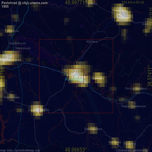
» NASA, Earths city lights 1995
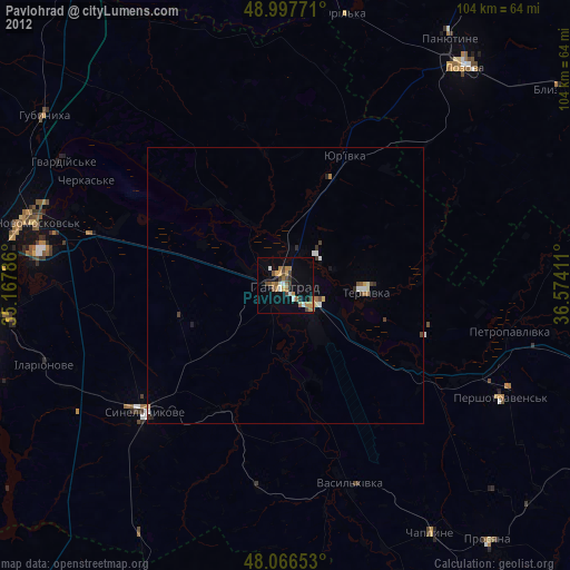
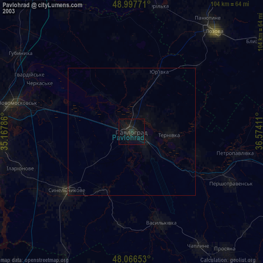
» NASA city lights 2003
» Earth at Night: Flat Maps 2012, 2016