Lenino night lights from space
Night Light of Lenino (Crimea) from space (Ukraine) Src. Average luminocity for 10x10km area is 0.5587% and for 50x50km: 0.0799%.
Analysis of Lenino night lights 2016
Square area 10x10 km:
 0%
0%90-99
0%80-89
0%70-79
0%60-69
0%50-59
0%40-49
0.63%30-39
0%20-29
0.63%10-19
0.63%0-9
98.1%Square area 50x50 km:
0%90-99
0%80-89
0%70-79
0%60-69
0%50-59
0.05%40-49
0.04%30-39
0.03%20-29
0.03%10-19
0.07%0-9
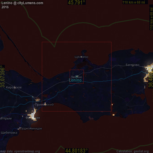
99.78%Clear (daylight) street map image can be seen on geolist.org.
Map coordinates:
45° 47' 27.6" North, 35° 4' 26.3" East
45° 17' 54.9" North, 35° 46' 37.5" East
44° 48' 6.6" North, 36° 28' 48.8" East
Some cities around Lenino sort by population:
• Kerch
55 km =34.2 mi,  83°
83°
• Feodosiya
42.9 km =26.7 mi,  226°
226°
• Primorskiy
31.3 km =19.4 mi, 228°
• Shchyolkino
15 km =9.3 mi,  13°
13°
• Sovetskiy
66.8 km =41.5 mi,  274°
274°
• Taman’, RU
74.1 km =46 mi,  97°
97°
• Stary Krym
61.5 km =38.2 mi,  240°
240°
• Kirovskoye
45.8 km =28.5 mi,  260°
260°
703261 (p: 7,871)
Sources (retrieved 2019-11-25):
» Earth at Night: Flat Maps 2012, 2016