Kozova night lights from space
Night Light of Kozova (Ternopil) from space (Ukraine) Src. Average luminocity for 10x10km area is 0% and for 50x50km: 0.0302%.
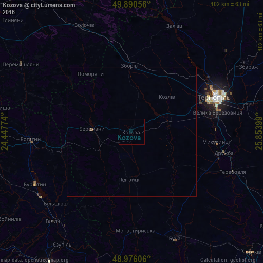
Analysis of Kozova night lights 2016
Square area 10x10 km:
 0%
0%90-99
0%80-89
0%70-79
0%60-69
0%50-59
0%40-49
0%30-39
0%20-29
0%10-19
0%0-9
100%Square area 50x50 km:
0%90-99
0%80-89
0%70-79
0%60-69
0.02%50-59
0.02%40-49
0.01%30-39
0%20-29
0%10-19
0.02%0-9
99.93%Clear (daylight) street map image can be seen on geolist.org.
Map coordinates:
49° 53' 26" North, 24° 26' 51.9" East
49° 26' 7.6" North, 25° 9' 3.1" East
48° 58' 33.8" North, 25° 51' 14.4" East
Some cities around Kozova sort by population:
• Ternopil
34.3 km =21.3 mi,  67°
67°
• Zolochiv
45.2 km =28.1 mi,  335°
335°
• Бережани
15.8 km =9.8 mi,  275°
275°
• Burshtyn
42.7 km =26.5 mi,  242°
242°
• Terebovlya
43.1 km =26.8 mi,  110°
110°
• Buchach
44.9 km =27.9 mi,  157°
157°
• Rohatyn
39.3 km =24.4 mi,  265°
265°
• Zboriv
25.5 km =15.8 mi,  358°
358°
704525 (p: 9,019)
Sources (retrieved 2019-11-25):
» Earth at Night: Flat Maps 2012, 2016