Бережани night lights from space
Night Light of Бережани (Ternopil) from space (Ukraine) Src. Average luminocity for 10x10km area is 0.7479% and for 50x50km: 0.1264%.
Analysis of Бережани night lights 2016
Square area 10x10 km:
 0%
0%90-99
0%80-89
0%70-79
0%60-69
0.42%50-59
0.42%40-49
0.28%30-39
0%20-29
0%10-19
0.56%0-9
98.32%Square area 50x50 km:
0%90-99
0%80-89
0%70-79
0.02%60-69
0.06%50-59
0.04%40-49
0.03%30-39
0.02%20-29
0.02%10-19
0.03%0-9
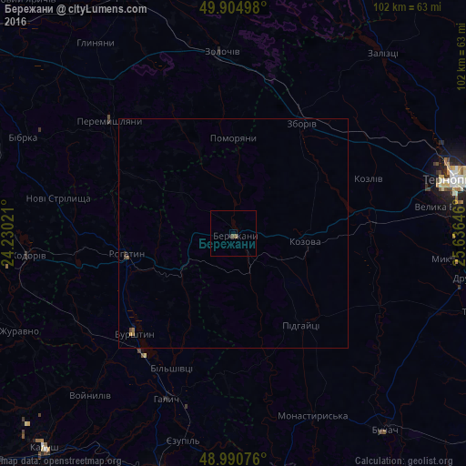
99.76%Clear (daylight) street map image can be seen on geolist.org.
Map coordinates:
49° 54' 17.9" North, 24° 13' 48.8" East
49° 27' 0" North, 24° 55' 60" East
48° 59' 26.7" North, 25° 38' 11.3" East
Some cities around Бережани sort by population:
• Zolochiv
39.7 km =24.7 mi,  355°
355°
• Burshtyn
30.7 km =19.1 mi,  226°
226°
• Khodoriv
45.7 km =28.4 mi,  264°
264°
• Kozova
15.8 km =9.8 mi,  95°
95°
• Rohatyn
23.9 km =14.9 mi, 258°
• Peremyshlyany
36.1 km =22.4 mi,  311°
311°
• Zboriv
28.2 km =17.5 mi,  32°
32°
• Halych
39.5 km =24.5 mi,  202°
202°
712374 (p: 16,962)
Sources (retrieved 2019-11-25):
» Earth at Night: Flat Maps 2012, 2016