Shostka night lights from space
Night Light of Shostka (Sumy) from space (Ukraine) Src. Average luminocity for 10x10km area is 5.9129% and for 50x50km: 0.2545%.
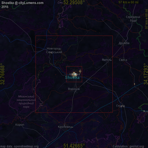
Analysis of Shostka night lights 2016
Square area 10x10 km:
 0.63%
0.63%90-99
0.38%80-89
0%70-79
0%60-69
1.01%50-59
1.01%40-49
2.53%30-39
2.65%20-29
2.65%10-19
0.76%0-9
88.38%Square area 50x50 km:
0.03%90-99
0.02%80-89
0%70-79
0%60-69
0.04%50-59
0.04%40-49
0.11%30-39
0.11%20-29
0.13%10-19
0.03%0-9
99.49%Clear (daylight) street map image can be seen on geolist.org.
Map coordinates:
52° 17' 42.3" North, 32° 46' 0" East
51° 51' 46.7" North, 33° 28' 11.3" East
51° 25' 35.9" North, 34° 10' 22.5" East
Some cities around Shostka sort by population:
• Hlukhiv
37 km =23 mi,  123°
123°
• Krolevets’
35.5 km =22.1 mi,  189°
189°
• Putyvl’
64.7 km =40.2 mi,  154°
154°
• Novhorod-Sivers’kyy
21.4 km =13.3 mi,  318°
318°
• Yampil’
23.7 km =14.7 mi,  66°
66°
• Seredyna-Buda
53.1 km =33 mi,  46°
46°
• Korop
48.2 km =30 mi,  226°
226°
• Druzhba
38.4 km =23.9 mi,  58°
58°
693942 (p: 85,432)
Sources (retrieved 2019-11-25):
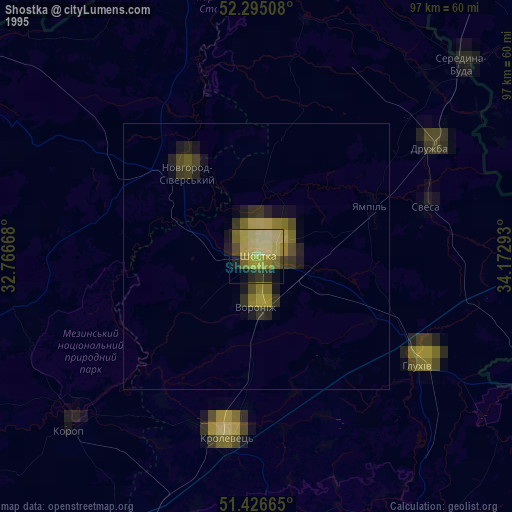
» NASA, Earths city lights 1995
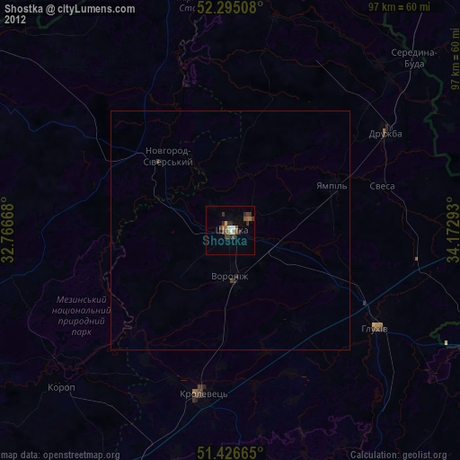
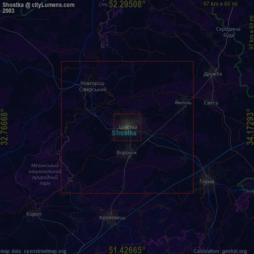
» NASA city lights 2003
» Earth at Night: Flat Maps 2012, 2016