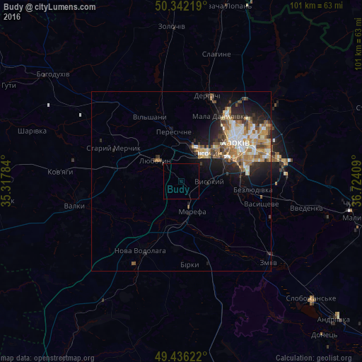
Budy night lights from space
Night Light of Budy (Kharkiv) from space (Ukraine) Src. Average luminocity for 10x10km area is 0.465% and for 50x50km: 7.9811%.
Analysis of Budy night lights 2016
Square area 10x10 km:
 0%
0%90-99
0%80-89
0%70-79
0%60-69
0%50-59
0%40-49
0%30-39
0.14%20-29
0%10-19
0.14%0-9
99.72%Square area 50x50 km:
1.14%90-99
1.5%80-89
0.9%70-79
1.25%60-69
1.5%50-59
1.09%40-49
0.87%30-39
0.94%20-29
2.05%10-19
4.33%0-9
84.44%Clear (daylight) street map image can be seen on geolist.org.
Map coordinates:
50° 20' 31.9" North, 35° 19' 4.2" East
49° 53' 28.8" North, 36° 1' 15.5" East
49° 26' 10.4" North, 36° 43' 26.7" East
Some cities around Budy sort by population:
• Merefa
7.9 km =4.9 mi,  164°
164°
• Lyubotyn
9 km =5.6 mi,  313°
313°
• Solonytsivka
11.8 km =7.3 mi,  4°
4°
• Vysokyy
7.2 km =4.5 mi,  89°
89°
• Pokotylivka
11.3 km =7 mi,  77°
77°
• Bezlyudivka
17.6 km =10.9 mi,  95°
95°
• Pivdenne
3.5 km =2.2 mi,  105°
105°
• Peresichna
15.1 km =9.4 mi,  348°
348°
711268 (p: 6,742)
Sources (retrieved 2019-11-25):
» Earth at Night: Flat Maps 2012, 2016