Merefa night lights from space
Night Light of Merefa (Kharkiv) from space (Ukraine) Src. Average luminocity for 10x10km area is 0.4906% and for 50x50km: 7.4179%.
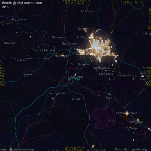
Analysis of Merefa night lights 2016
Square area 10x10 km:
 0%
0%90-99
0%80-89
0%70-79
0%60-69
0%50-59
0.53%40-49
0%30-39
0%20-29
0%10-19
1.07%0-9
98.4%Square area 50x50 km:
1.09%90-99
1.46%80-89
0.8%70-79
1.22%60-69
1.48%50-59
1.03%40-49
0.86%30-39
0.8%20-29
1.73%10-19
3.58%0-9
85.96%Clear (daylight) street map image can be seen on geolist.org.
Map coordinates:
50° 16' 28.3" North, 35° 20' 51.3" East
49° 49' 22.9" North, 36° 3' 2.5" East
49° 22' 2.2" North, 36° 45' 13.8" East
Some cities around Merefa sort by population:
• Lyubotyn
16.3 km =10.1 mi,  327°
327°
• Nova Vodolaha
17.6 km =10.9 mi,  228°
228°
• Solonytsivka
19.4 km =12.1 mi,  356°
356°
• Vysokyy
9.2 km =5.7 mi,  33°
33°
• Pokotylivka
13.4 km =8.3 mi,  41°
41°
• Bezlyudivka
16.5 km =10.3 mi,  69°
69°
• Pivdenne
6.8 km =4.2 mi,  10°
10°
• Budy
7.9 km =4.9 mi,  344°
344°
701347 (p: 23,679)
Sources (retrieved 2019-11-25):
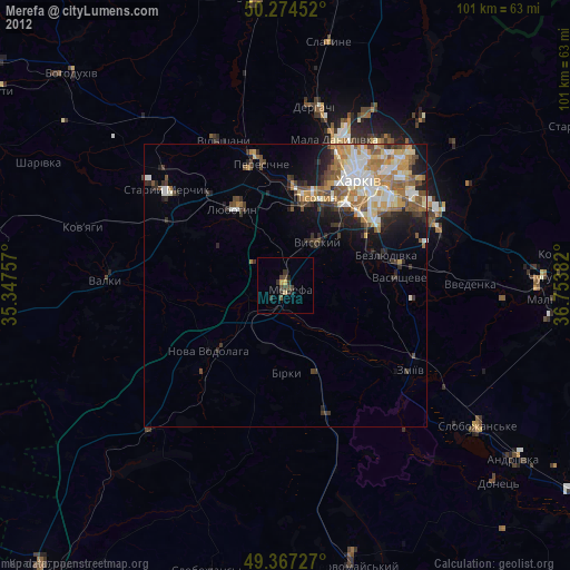
» Earth at Night: Flat Maps 2012, 2016