Kantemirovka night lights from space
Night Light of Kantemirovka (Voronezj) from space (Russia) Src. Average luminocity for 10x10km area is 1.2553% and for 50x50km: 0.1286%.
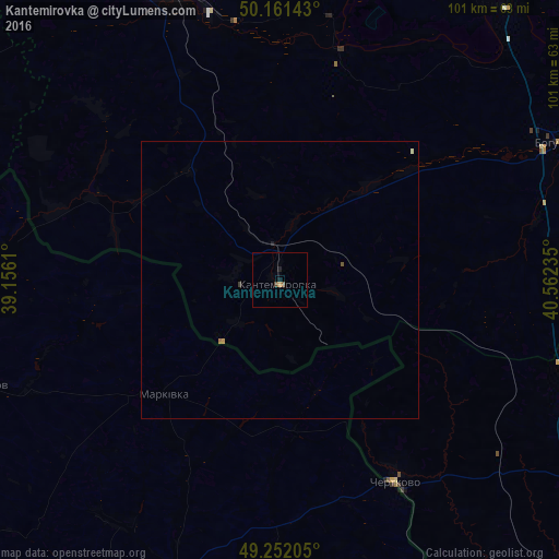
Analysis of Kantemirovka night lights 2016
Square area 10x10 km:
 0%
0%90-99
0%80-89
0%70-79
0.53%60-69
0%50-59
0.53%40-49
0.53%30-39
0%20-29
0.13%10-19
0.53%0-9
97.73%Square area 50x50 km:
0%90-99
0.02%80-89
0%70-79
0.04%60-69
0.02%50-59
0.04%40-49
0.02%30-39
0.02%20-29
0.01%10-19
0.04%0-9
99.77%Clear (daylight) street map image can be seen on geolist.org.
Map coordinates:
50° 9' 41.1" North, 39° 9' 22" East
49° 42' 31.9" North, 39° 51' 33.2" East
49° 15' 7.4" North, 40° 33' 44.5" East
Some cities around Kantemirovka sort by population:
• Rossosh’
58.3 km =36.2 mi,  339°
339°
• Boguchar
55.3 km =34.4 mi,  62°
62°
• Chertkovo
41.6 km =25.8 mi,  150°
150°
• Novopskov, UA
58.3 km =36.2 mi,  251°
251°
• Bilovods'k, UA
59 km =36.7 mi,  199°
199°
• Markivka, UA
29.3 km =18.2 mi,  225°
225°
• Mitrofanovka
31.4 km =19.5 mi, 337°
• Milove, UA
42 km =26.1 mi, 152°
553099 (p: 12,770)
Sources (retrieved 2019-11-25):
» Earth at Night: Flat Maps 2012, 2016