Bakhchysarai night lights from space
Night Light of Bakhchysarai (Crimea) from space (Ukraine) Src. Average luminocity for 10x10km area is 4.947% and for 50x50km: 4.5579%.
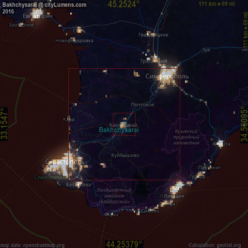
Analysis of Bakhchysarai night lights 2016
Square area 10x10 km:
 0%
0%90-99
0%80-89
0%70-79
0.15%60-69
2.73%50-59
1.06%40-49
2.58%30-39
1.06%20-29
0.91%10-19
0.61%0-9
90.91%Square area 50x50 km:
0.5%90-99
0.59%80-89
0.54%70-79
0.61%60-69
0.75%50-59
0.76%40-49
0.8%30-39
0.64%20-29
1.52%10-19
2.98%0-9
90.3%Clear (daylight) street map image can be seen on geolist.org.
Map coordinates:
45° 15' 8.6" North, 33° 9' 16.9" East
44° 45' 18.9" North, 33° 51' 28.2" East
44° 15' 13.6" North, 34° 33' 39.4" East
Some cities around Bakhchysarai sort by population:
• Sevastopol
31.2 km =19.4 mi,  238°
238°
• Simferopol
30 km =18.6 mi,  41°
41°
• Inkerman
25.1 km =15.6 mi,  231°
231°
• Gresovskiy
31.1 km =19.3 mi,  25°
25°
• Mirnoye
30 km =18.6 mi, 32°
• Vilino
17.8 km =11.1 mi,  304°
304°
• Pionerskoye
30.5 km =19 mi,  62°
62°
• Chisten’koye
20.5 km =12.7 mi,  46°
46°
712969 (p: 27,351)
Sources (retrieved 2019-11-25):
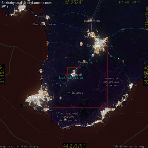
» Earth at Night: Flat Maps 2012, 2016