Voznesensk night lights from space
Night Light of Voznesensk (Mykolaiv) from space (Ukraine) Src. Average luminocity for 10x10km area is 17.9673% and for 50x50km: 0.8628%.
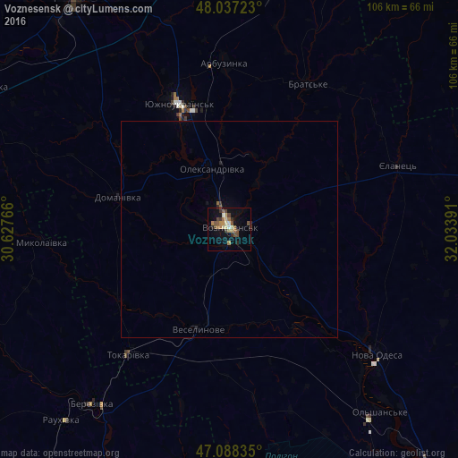
Analysis of Voznesensk night lights 2016
Square area 10x10 km:
 0.43%
0.43%90-99
1.85%80-89
2.84%70-79
1.7%60-69
4.55%50-59
4.12%40-49
3.98%30-39
1.99%20-29
2.27%10-19
10.09%0-9
66.19%Square area 50x50 km:
0.02%90-99
0.08%80-89
0.12%70-79
0.07%60-69
0.2%50-59
0.19%40-49
0.17%30-39
0.12%20-29
0.13%10-19
0.47%0-9
98.45%Clear (daylight) street map image can be seen on geolist.org.
Map coordinates:
48° 2' 14" North, 30° 37' 39.6" East
47° 33' 53.8" North, 31° 19' 50.8" East
47° 5' 18.1" North, 32° 2' 2.1" East
Some cities around Voznesensk sort by population:
• Pervomays’k
64.2 km =39.9 mi,  326°
326°
• Yuzhnoukrains'k
30.2 km =18.8 mi,  338°
338°
• Nova Odesa
44.6 km =27.7 mi,  129°
129°
• Vradiyivka
64.4 km =40 mi,  300°
300°
• Berezivka
51.2 km =31.8 mi,  218°
218°
• Arbuzynka
38.3 km =23.8 mi,  358°
358°
• Veselynove
24.3 km =15.1 mi,  197°
197°
• Domanivka
26.7 km =16.6 mi,  286°
286°
688860 (p: 42,248)
Sources (retrieved 2019-11-25):
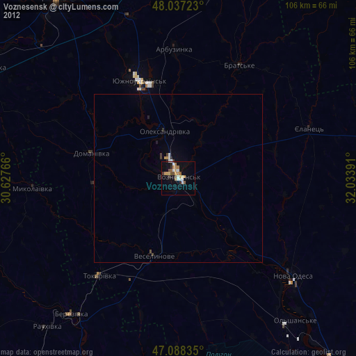
» Earth at Night: Flat Maps 2012, 2016