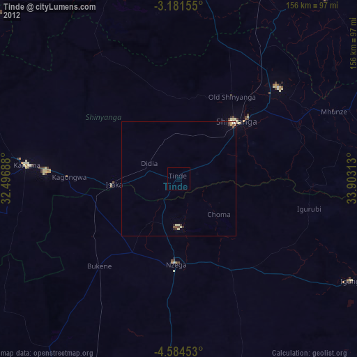
Tinde night lights from space
Night Light of Tinde (Shinyanga) from space (Tanzania) Src. Average luminocity for 10x10km area is 0% and for 50x50km: 0.3745%.
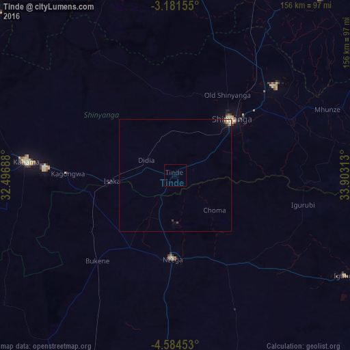
Analysis of Tinde night lights 2016
Square area 10x10 km:
100  0%
0%
90-99 0%
80-89 0%
70-79 0%
60-69 0%
50-59 0%
40-49 0%
30-39 0%
20-29 0%
10-19 0%
0-9 100%
0%90-99
0%80-89
0%70-79
0%60-69
0%50-59
0%40-49
0%30-39
0%20-29
0%10-19
0%0-9
100%Square area 50x50 km:
100 0.01%
90-99 0.05%
80-89 0.12%
70-79 0.05%
60-69 0.03%
50-59 0.01%
40-49 0.07%
30-39 0.08%
20-29 0.07%
10-19 0.1%
0-9 99.41%
0.01%90-99
0.05%80-89
0.12%70-79
0.05%60-69
0.03%50-59
0.01%40-49
0.07%30-39
0.08%20-29
0.07%10-19
0.1%0-9
99.41%Clear (daylight) street map image can be seen on geolist.org.
Map coordinates:
3° 10' 53.6" South, 32° 29' 48.8" East
3° 52' 60" South, 33° 12' 0" East
4° 35' 4.3" South, 33° 54' 11.3" East
Some cities around Tinde sort by population:
• Shinyanga
34.6 km =21.5 mi,  45°
45°
• Nzega
37.1 km =23.1 mi,  182°
182°
• Old Shinyanga
43.2 km =26.8 mi,  30°
30°
• Songwa
53.8 km =33.4 mi,  40°
40°
• Mwadui
57.8 km =35.9 mi, 50°
• Isaka
29.6 km =18.4 mi,  266°
266°
• Igurubi
57 km =35.4 mi,  103°
103°
• Bukene
52.4 km =32.6 mi,  222°
222°
149512 (p: 22,082)
Sources (retrieved 2019-11-25):
» Earth at Night: Flat Maps 2012, 2016