Bukene night lights from space
Night Light of Bukene (Tabora) from space (Tanzania) Src. Average luminocity for 10x10km area is 0% and for 50x50km: 0%.
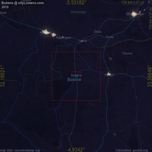
Analysis of Bukene night lights 2016
Square area 10x10 km:
100  0%
0%
90-99 0%
80-89 0%
70-79 0%
60-69 0%
50-59 0%
40-49 0%
30-39 0%
20-29 0%
10-19 0%
0-9 100%
0%90-99
0%80-89
0%70-79
0%60-69
0%50-59
0%40-49
0%30-39
0%20-29
0%10-19
0%0-9
100%Square area 50x50 km:
100 0%
90-99 0%
80-89 0%
70-79 0%
60-69 0%
50-59 0%
40-49 0%
30-39 0%
20-29 0%
10-19 0%
0-9 100%
0%90-99
0%80-89
0%70-79
0%60-69
0%50-59
0%40-49
0%30-39
0%20-29
0%10-19
0%0-9
100%Clear (daylight) street map image can be seen on geolist.org.
Map coordinates:
3° 31' 54.6" South, 32° 10' 48.8" East
4° 13' 60" South, 32° 52' 60" East
4° 56' 3.1" South, 33° 35' 11.3" East
Some cities around Bukene sort by population:
• Tabora
87.3 km =54.2 mi,  184°
184°
• Shinyanga
87 km =54.1 mi,  43°
43°
• Kahama
54.5 km =33.9 mi,  324°
324°
• Tumbi
94.1 km =58.5 mi,  190°
190°
• Nzega
33.3 km =20.7 mi,  86°
86°
• Tinde
52.4 km =32.6 mi, 42°
• Isaka
37.5 km =23.3 mi,  8°
8°
• Igurubi
94.2 km =58.5 mi,  74°
74°
160971 (p: 7,444)
Sources (retrieved 2019-11-25):
» Earth at Night: Flat Maps 2012, 2016