Kibungo night lights from space
Night Light of Kibungo (Eastern Province) from space (Rwanda) Src. Average luminocity for 10x10km area is 0.9654% and for 50x50km: 0.1954%.

Analysis of Kibungo night lights 2016
Square area 10x10 km:
 0%
0%90-99
0%80-89
0%70-79
0%60-69
0%50-59
0%40-49
0.87%30-39
1.52%20-29
0.22%10-19
0%0-9
97.4%Square area 50x50 km:
0.02%90-99
0.02%80-89
0%70-79
0.03%60-69
0.03%50-59
0.03%40-49
0.08%30-39
0.1%20-29
0.08%10-19
0%0-9
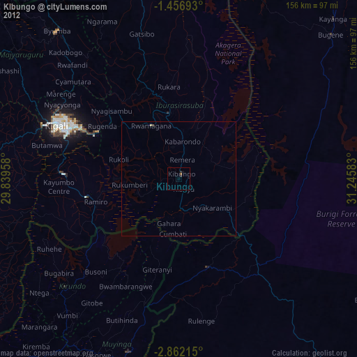
99.62%Clear (daylight) street map image can be seen on geolist.org.
Map coordinates:
1° 27' 24.9" South, 29° 50' 22.5" East
2° 9' 34.9" South, 30° 32' 33.7" East
2° 51' 43.7" South, 31° 14' 45" East
Some cities around Kibungo sort by population:
• Kigali
58.6 km =36.4 mi,  293°
293°
• Muyinga, BI
79.4 km =49.3 mi,  196°
196°
• Rwamagana
26.4 km =16.4 mi,  332°
332°
• Bugarama, TZ
79.1 km =49.2 mi,  181°
181°
• Rulenge, TZ
62.8 km =39 mi,  170°
170°
• Kabanga, TZ
53.9 km =33.5 mi,  188°
188°
• Ngara, TZ
41.2 km =25.6 mi,  162°
162°
• Kirundo, BI
68.5 km =42.6 mi,  226°
226°
202068 (p: 46,240)
Sources (retrieved 2019-11-25):
» Earth at Night: Flat Maps 2012, 2016