Konde night lights from space
Night Light of Konde (Pemba North) from space (Tanzania) Src. Average luminocity for 10x10km area is 0% and for 50x50km: 0.0336%.
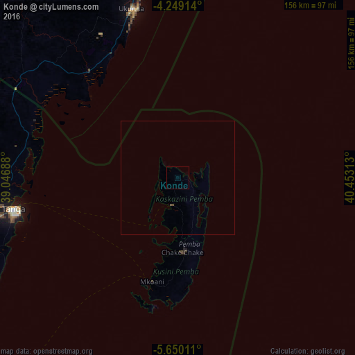
Analysis of Konde night lights 2016
Square area 10x10 km:
 0%
0%90-99
0%80-89
0%70-79
0%60-69
0%50-59
0%40-49
0%30-39
0%20-29
0%10-19
0%0-9
100%Square area 50x50 km:
0%90-99
0%80-89
0%70-79
0%60-69
0%50-59
0%40-49
0.07%30-39
0%20-29
0%10-19
0%0-9
99.93%Clear (daylight) street map image can be seen on geolist.org.
Map coordinates:
4° 14' 56.9" South, 39° 2' 48.8" East
4° 57' 0" South, 39° 45' 0" East
5° 39' 0.4" South, 40° 27' 11.3" East
Some cities around Konde sort by population:
• Tanga
73.3 km =45.5 mi,  259°
259°
• Wete
12 km =7.5 mi,  190°
190°
• Chake Chake
32.9 km =20.4 mi,  176°
176°
• Sawa Sawa, KE
60.8 km =37.8 mi,  331°
331°
• Majengo
87.8 km =54.6 mi, 255°
• Micheweni
9.4 km =5.8 mi,  101°
101°
• Mtambile
48.5 km =30.1 mi, 186°
• Gazi, KE
64.4 km =40 mi,  335°
335°
156513 (p: 9,530)
Sources (retrieved 2019-11-25):
» Earth at Night: Flat Maps 2012, 2016