Merelani night lights from space
Night Light of Merelani (Arusha) from space (Tanzania) Src. Average luminocity for 10x10km area is 2.5584% and for 50x50km: 0.5581%.
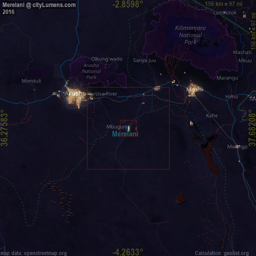
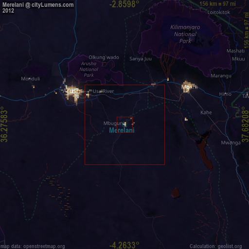
Analysis of Merelani night lights 2016
Square area 10x10 km:
 0%
0%90-99
0%80-89
0%70-79
0.87%60-69
0.87%50-59
0.43%40-49
1.3%30-39
0%20-29
0.87%10-19
0.65%0-9
95.02%Square area 50x50 km:
0%90-99
0%80-89
0%70-79
0.07%60-69
0.04%50-59
0.11%40-49
0.32%30-39
0.19%20-29
0.24%10-19
0.33%0-9
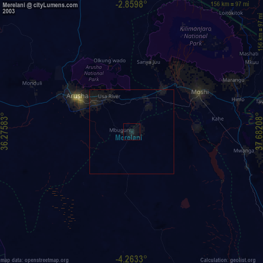
98.69%Clear (daylight) street map image can be seen on geolist.org.
Map coordinates:
2° 51' 35.3" South, 36° 16' 33" East
3° 33' 42.6" South, 36° 58' 44.2" East
4° 15' 47.9" South, 37° 40' 55.5" East
Some cities around Merelani sort by population:
• Arusha
39.3 km =24.4 mi,  303°
303°
• Moshi
45.8 km =28.5 mi,  59°
59°
• Kingori
31 km =19.3 mi,  0°
0°
• Usa River
26 km =16.2 mi,  326°
326°
• Mbuguni
3.3 km =2.1 mi,  260°
260°
• Nkoaranga
32.2 km =20 mi,  321°
321°
• Poli
32.2 km =20 mi, 321°
• Monduli
65.5 km =40.7 mi, 296°
6640202 (p: 50,000)
Sources (retrieved 2019-11-25):
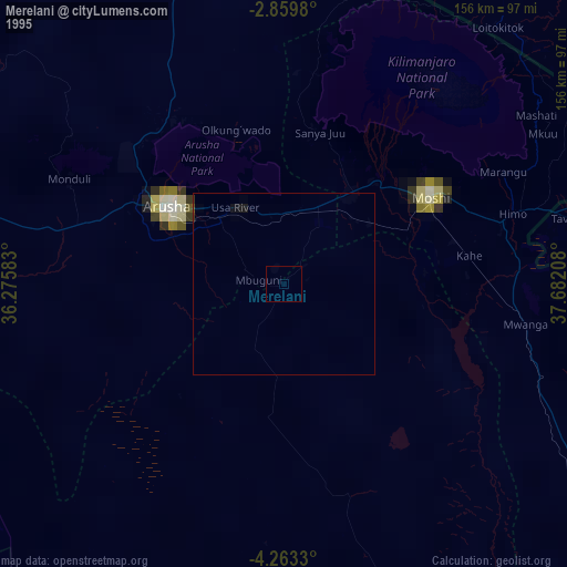
» NASA, Earths city lights 1995
» NASA city lights 2003
» Earth at Night: Flat Maps 2012, 2016