Mbuguni night lights from space
Night Light of Mbuguni (Arusha) from space (Tanzania) Src. Average luminocity for 10x10km area is 2.1645% and for 50x50km: 0.8863%.
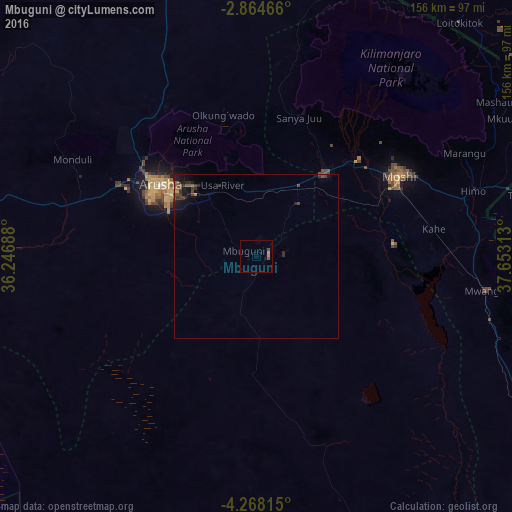
Analysis of Mbuguni night lights 2016
Square area 10x10 km:
100  0%
0%
90-99 0%
80-89 0%
70-79 0.87%
60-69 0.87%
50-59 0.43%
40-49 1.3%
30-39 0%
20-29 0%
10-19 0.65%
0-9 95.89%
0%90-99
0%80-89
0%70-79
0.87%60-69
0.87%50-59
0.43%40-49
1.3%30-39
0%20-29
0%10-19
0.65%0-9
95.89%Square area 50x50 km:
100 0%
90-99 0%
80-89 0%
70-79 0.12%
60-69 0.06%
50-59 0.23%
40-49 0.41%
30-39 0.31%
20-29 0.32%
10-19 1%
0-9 97.55%
0%90-99
0%80-89
0%70-79
0.12%60-69
0.06%50-59
0.23%40-49
0.41%30-39
0.31%20-29
0.32%10-19
1%0-9
97.55%Clear (daylight) street map image can be seen on geolist.org.
Map coordinates:
2° 51' 52.8" South, 36° 14' 48.8" East
3° 34' 0" South, 36° 57' 0" East
4° 16' 5.3" South, 37° 39' 11.3" East
Some cities around Mbuguni sort by population:
• Arusha
37 km =23 mi,  306°
306°
• Moshi
48.9 km =30.4 mi,  60°
60°
• Merelani
3.3 km =2.1 mi,  80°
80°
• Kingori
31.7 km =19.7 mi,  6°
6°
• Usa River
24.9 km =15.5 mi,  333°
333°
• Nkoaranga
30.8 km =19.1 mi, 327°
• Poli
30.8 km =19.1 mi, 327°
• Monduli
62.9 km =39.1 mi,  298°
298°
154321 (p: 16,442)
Sources (retrieved 2019-11-25):
» Earth at Night: Flat Maps 2012, 2016