Issenye night lights from space
Night Light of Issenye (Mara) from space (Tanzania) Src. Average luminocity for 10x10km area is 0% and for 50x50km: 0%.
Analysis of Issenye night lights 2016
Square area 10x10 km:
100  0%
0%
90-99 0%
80-89 0%
70-79 0%
60-69 0%
50-59 0%
40-49 0%
30-39 0%
20-29 0%
10-19 0%
0-9 100%
0%90-99
0%80-89
0%70-79
0%60-69
0%50-59
0%40-49
0%30-39
0%20-29
0%10-19
0%0-9
100%Square area 50x50 km:
100 0%
90-99 0%
80-89 0%
70-79 0%
60-69 0%
50-59 0%
40-49 0%
30-39 0%
20-29 0%
10-19 0%
0-9 100%
0%90-99
0%80-89
0%70-79
0%60-69
0%50-59
0%40-49
0%30-39
0%20-29
0%10-19
0%0-9
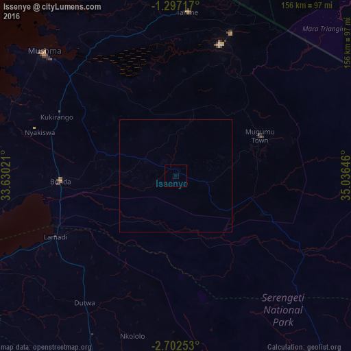
100%Clear (daylight) street map image can be seen on geolist.org.
Map coordinates:
1° 17' 49.8" South, 33° 37' 48.8" East
2° 0' 0" South, 34° 19' 60" East
2° 42' 9.1" South, 35° 2' 11.3" East
Some cities around Issenye sort by population:
• Bunda
52.2 km =32.4 mi,  263°
263°
• Tarime
72.4 km =45 mi,  2°
2°
• Mugumu
44 km =27.3 mi,  67°
67°
• Nyakabindi
80.4 km =50 mi,  208°
208°
• Nyamuswa
36.9 km =22.9 mi,  287°
287°
• Butiama
48.3 km =30 mi,  302°
302°
• Matonga
50.9 km =31.6 mi, 213°
• Mugango
78.7 km =48.9 mi, 296°
158974 (p: 7,778)
Sources (retrieved 2019-11-25):
» Earth at Night: Flat Maps 2012, 2016