Makungu night lights from space
Night Light of Makungu (Iringa) from space (Tanzania) Src. Average luminocity for 10x10km area is 3.0847% and for 50x50km: 0.1562%.
Analysis of Makungu night lights 2016
Square area 10x10 km:
 0.41%
0.41%90-99
0.41%80-89
0%70-79
0%60-69
0.83%50-59
0.83%40-49
0.83%30-39
0.83%20-29
0.83%10-19
0.83%0-9
94.21%Square area 50x50 km:
0.02%90-99
0.02%80-89
0%70-79
0%60-69
0.03%50-59
0.03%40-49
0.05%30-39
0.07%20-29
0.03%10-19
0.1%0-9
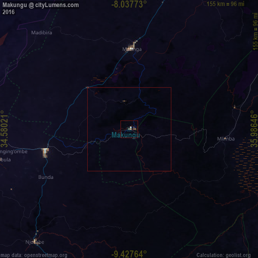
99.65%Clear (daylight) street map image can be seen on geolist.org.
Map coordinates:
8° 2' 15.8" South, 34° 34' 48.8" East
8° 43' 60" South, 35° 16' 60" East
9° 25' 39.5" South, 35° 59' 11.3" East
Some cities around Makungu sort by population:
• Makumbako
51.1 km =31.8 mi,  255°
255°
• Njombe
88.6 km =55.1 mi,  219°
219°
• Mlimba
59.1 km =36.7 mi,  97°
97°
• Rujewa
99 km =61.5 mi,  272°
272°
• Malinyi
96 km =59.7 mi, 103°
• Mtwango
61.7 km =38.3 mi,  239°
239°
• Ilembula
79.1 km =49.2 mi, 256°
• Malangali
51.1 km =31.8 mi,  291°
291°
155093 (p: 10,291)
Sources (retrieved 2019-11-25):
» Earth at Night: Flat Maps 2012, 2016