Karonga night lights from space
Night Light of Karonga (Northern Region) from space (Malawi) Src. Average luminocity for 10x10km area is 6.0579% and for 50x50km: 0.2684%.
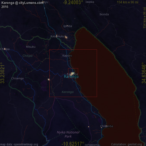
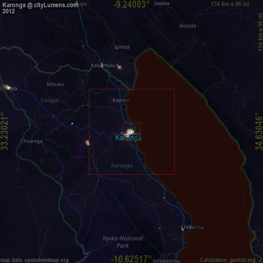
Analysis of Karonga night lights 2016
Square area 10x10 km:
 0%
0%90-99
0%80-89
0%70-79
2.07%60-69
0.41%50-59
3.72%40-49
2.89%30-39
0%20-29
0.83%10-19
0%0-9
90.08%Square area 50x50 km:
0%90-99
0%80-89
0%70-79
0.08%60-69
0.02%50-59
0.15%40-49
0.12%30-39
0.03%20-29
0.03%10-19
0%0-9
99.56%Clear (daylight) street map image can be seen on geolist.org.
Map coordinates:
9° 14' 24.1" South, 33° 13' 48.8" East
9° 55' 60" South, 33° 55' 60" East
10° 37' 30.6" South, 34° 38' 11.3" East
Some cities around Karonga sort by population:
• Kyela, TZ
40 km =24.9 mi,  346°
346°
• Tukuyu, TZ
82.1 km =51 mi,  337°
337°
• Ipinda, TZ
50.2 km =31.2 mi,  355°
355°
• Mlangali, TZ
66 km =41 mi,  75°
75°
• Masoko, TZ
69.7 km =43.3 mi, 343°
• Chitipa
77.1 km =47.9 mi,  289°
289°
• Mwaya, TZ
42.7 km =26.5 mi,  2°
2°
• Livingstonia
77.2 km =48 mi,  165°
165°
235715 (p: 34,207)
Sources (retrieved 2019-11-25):
» Earth at Night: Flat Maps 2012, 2016